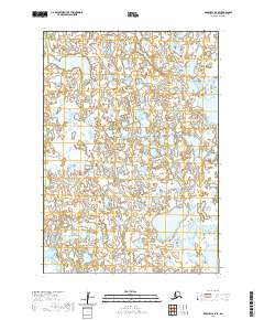
2020 Map of Marshall A-5 SE
USGS Topo · Published 2020About this map
The Bethel Census Area landscape, as surveyed in 2020, is characterized by its intricate hydrology and the Public Land Survey System divisions that define its wilderness management. This specific quadrant is anchored by the convergence of T12n R81w, T12n R80w, T11n R81w, and T11n R80w. The survey reveals a complex network of wetlands and water bodies typical of this region of Alaska, where the lack of roads and named settlements emphasizes the untouched character of the terrain. For researchers and surveyors, this map serves as a primary record of the township and range boundaries that organize the vast, unpopulated sections of the Alaskan interior, providing a precise look at the hydrographic patterns before shifting environmental factors or future development change the face of the land.
Find a feature on this map
4 named features on this map. Tap any name to fly to it.
Don’t see what you’re looking for? This feature index may not catch every label — zoom into the map to look around manually.
Map Details
Editions of this 2020 Marshall A-5 SE Map
This is the sole edition of this map. No revisions or reprints were ever made.
Other maps of this area

1951 · Marshall
USGS Topo · 1:250,000

1951 · Baird Inlet
USGS Topo · 1:250,000
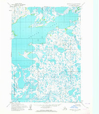
1953 · Marshall A-5
USGS Topo · 1:63,360

1953 · Baird Inlet D-5
USGS Topo · 1:63,360
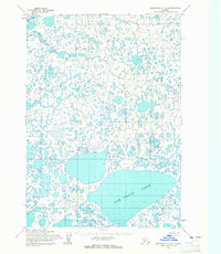
1954 · Marshall A-4
USGS Topo · 1:63,360

1954 · Marshall
USGS Topo · 1:250,000

1954 · Baird Inlet
USGS Topo · 1:250,000
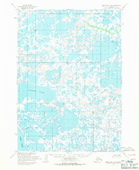
1954 · Baird Inlet D-4
USGS Topo · 1:63,360
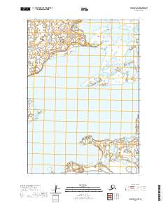
2020 · Marshall A-5 NW
USGS Topo · 1:25,000
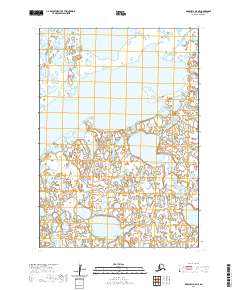
2020 · Marshall A-5 NE
USGS Topo · 1:25,000