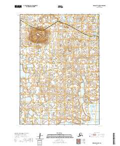
2020 Map of Marshall B-5 SW
USGS Topo · Published 2020About this map
Tk Hill rises above a labyrinth of wetlands and water bodies in this remote section of the Alaskan interior. Located at the boundary of the Kusilvak Census Area and Bethel Census Area, the landscape is defined by an intricate network of lakes and ponds that dominate the tundra. The presence of Tk Hill provides one of the few significant topographic landmarks in an otherwise saturated environment, illustrating the complex hydrography of the region. This survey captures the natural state of the area as it appeared in the early 21st century, mapping the extensive wetland systems that dictate the geography of this part of the state.
Find a feature on this map
7 named features on this map. Tap any name to fly to it.
Don’t see what you’re looking for? This feature index may not catch every label — zoom into the map to look around manually.
Map Details
Editions of this 2020 Marshall B-5 SW Map
This is the sole edition of this map. No revisions or reprints were ever made.
Other maps of this area

1951 · Marshall
USGS Topo · 1:250,000
1953 · Marshall A-5
USGS Topo · 1:63,360

1953 · Marshall B-6
USGS Topo · 1:63,360

1953 · Marshall B-5
USGS Topo · 1:63,360

1954 · Marshall A-6
USGS Topo · 1:63,360

1954 · Marshall
USGS Topo · 1:250,000
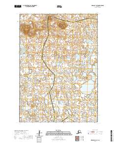
2020 · Marshall B-6 SE
USGS Topo · 1:25,000
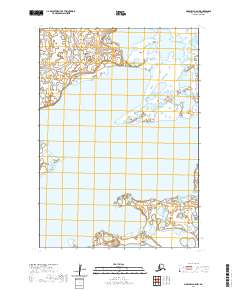
2020 · Marshall A-5 NW
USGS Topo · 1:25,000
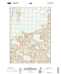
2020 · Marshall A-5 NE
USGS Topo · 1:25,000
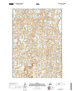
2020 · Marshall B-5 NW
USGS Topo · 1:25,000