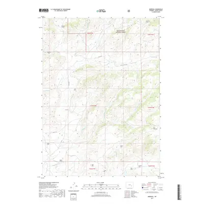
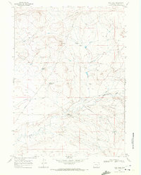
2017 Map of Marshall
USGS Topo · Published 2017About this map
Marshall serves as a central reference point in this corner of Albany County, situated within a landscape defined by the high-elevation drainage systems of the Medicine Bow National Forest. The terrain is deeply incised by numerous draws and creeks, including Old Maids Draw and the various branches of Cottonwood Creek, such as the N Fork Cottonwood Cr and Middle Fork Cottonwood Cr. This area is characterized by its isolation and specialized land use, evidenced by the presence of Robbins Airport and landmarks like Mine Hills and Crystal Hill.
Find a feature on this map
40 named features on this map. Tap any name to fly to it.
Don’t see what you’re looking for? This feature index may not catch every label — zoom into the map to look around manually.
Map Details
Editions of this 2017 Marshall Map
This is the sole edition of this map. No revisions or reprints were ever made.
Other maps of this area

1954 · Torrington
USGS Topo · 1:250,000

1958 · Torrington
USGS Topo · 1:250,000

1964 · Toltec
USGS Topo · 1:24,000

1964 · School Section Mountain
USGS Topo · 1:24,000
1964 · Rock Creek
USGS Topo · 1:24,000
1964 · Pass Creek
USGS Topo · 1:24,000

1964 · Marshall
USGS Topo · 1:24,000
1964 · Warbonnet Peak
USGS Topo · 1:24,000

1968 · Cottonwood Creek
USGS Topo · 1:24,000
1968 · Boot Heel
USGS Topo · 1:24,000