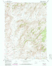
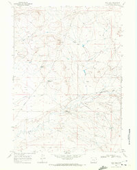
1964 Map of Marshall
USGS Topo · Published 1985About this map
Medicine Bow National Forest dominates this high-altitude landscape in the mid-1960s, where the small settlement of Marshall sits at the junction of several drainage basins. The area is defined by a network of draws and creeks, including the headwaters of Mule Creek, Frenchy Draw, and Cottonwood Creek, providing a look at the hydraulic geography of the Mine Hills and Crystal Hill region. Evidence of early transit and land use appears through the presence of the Old Fort Fetterman Road and isolated homesteads like Bennett Place. Industrial activity is hinted at by scattered prospects and landing strips, suggesting a remote ranching and mineral exploration economy. The topographic detail highlights prominent natural features such as Cameron Pass and Sheep Creek, which carved deep canyons into the Wyoming plateau.
Find a feature on this map
49 named features on this map. Tap any name to fly to it.
Don’t see what you’re looking for? This feature index may not catch every label — zoom into the map to look around manually.
Map Details
Editions of this 1964 Marshall Map
2 editions found
Other maps of this area

1954 · Torrington
USGS Topo · 1:250,000

1958 · Torrington
USGS Topo · 1:250,000

1964 · Toltec
USGS Topo · 1:24,000

1964 · School Section Mountain
USGS Topo · 1:24,000
1964 · Rock Creek
USGS Topo · 1:24,000
1964 · Pass Creek
USGS Topo · 1:24,000

1964 · Marshall
USGS Topo · 1:24,000
1964 · Warbonnet Peak
USGS Topo · 1:24,000

1968 · Cottonwood Creek
USGS Topo · 1:24,000
1968 · Boot Heel
USGS Topo · 1:24,000