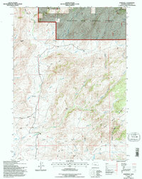
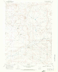
1992 Map of Marshall
USGS Topo · Published 1996About this map
Medicine Bow National Forest occupies the northern reaches of this Wyoming landscape, where the rugged terrain of the Mountain is carved by an intricate drainage system including Boulder Creek and Manse Creek. The settlement of Marshall serves as a local hub along Marshall Road, situated near the confluence of Sheep Creek and several smaller draws. This area in Albany County shows a history of resource exploration, evidenced by numerous mining sites such as Mine Hills and scattered prospects near Crystal Hill. The distribution of Bennett Place and various landing strips across the high country suggests a sparsely populated region defined by ranching and high-altitude navigation through gaps like Cameron Pass. The map details the complex headwaters of Mule Creek and Cottonwood Creek, illustrating how the drainage patterns dictated the placement of early travel routes and homesteads.
Find a feature on this map
33 named features on this map. Tap any name to fly to it.
Don’t see what you’re looking for? This feature index may not catch every label — zoom into the map to look around manually.
Map Details
Editions of this 1992 Marshall Map
This is the sole edition of this map. No revisions or reprints were ever made.
Other maps of this area

1954 · Torrington
USGS Topo · 1:250,000

1958 · Torrington
USGS Topo · 1:250,000

1964 · Toltec
USGS Topo · 1:24,000

1964 · School Section Mountain
USGS Topo · 1:24,000
1964 · Rock Creek
USGS Topo · 1:24,000
1964 · Pass Creek
USGS Topo · 1:24,000

1964 · Marshall
USGS Topo · 1:24,000
1964 · Warbonnet Peak
USGS Topo · 1:24,000

1968 · Cottonwood Creek
USGS Topo · 1:24,000
1968 · Boot Heel
USGS Topo · 1:24,000