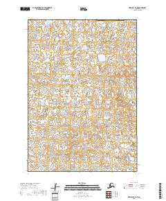
2018 Map of Marshall B-2 NE
USGS Topo · Published 2018About this map
Putu Cr and Mogak Cr wind through a complex aquatic landscape in this 2018 survey of the Bethel Census Area. This region of Alaska is defined by an intricate network of wetlands and small water bodies that dominate the interior, illustrating the characteristic hydrology of the Yukon-Kuskokwim Delta area. The terrain is marked by township boundaries including t16n r74w and t15n r73w, which provide a geographic grid for a landscape largely devoid of permanent human settlements or road infrastructure. Instead, the focus remains on the natural drainage patterns and the subtle elevation changes of the tundra, offering researchers a precise look at the seasonal waterways and the vast expanse of the northern wetlands as they appeared in the early 21st century.
Find a feature on this map
7 named features on this map. Tap any name to fly to it.
Don’t see what you’re looking for? This feature index may not catch every label — zoom into the map to look around manually.
Map Details
Editions of this 2018 Marshall B-2 NE Map
This is the sole edition of this map. No revisions or reprints were ever made.
Other maps of this area

1951 · Marshall
USGS Topo · 1:250,000

1952 · Marshall C-1
USGS Topo · 1:63,360
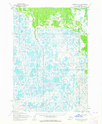
1954 · Marshall C-2
USGS Topo · 1:63,360
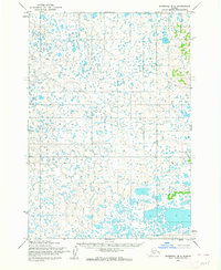
1954 · Marshall B-2
USGS Topo · 1:63,360
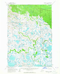
1954 · Marshall B-1
USGS Topo · 1:63,360

1954 · Marshall
USGS Topo · 1:250,000
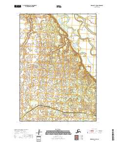
2018 · Marshall C-1 SW
USGS Topo · 1:25,000
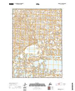
2018 · Marshall B-2 SE
USGS Topo · 1:25,000
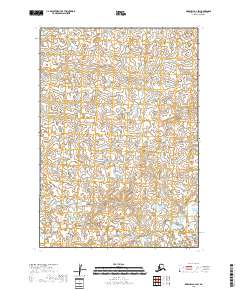
2018 · Marshall B-2 SW
USGS Topo · 1:25,000
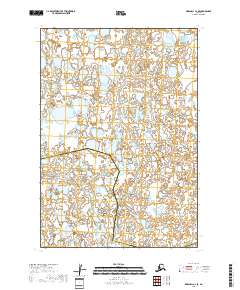
2018 · Marshall C-2 SE
USGS Topo · 1:25,000