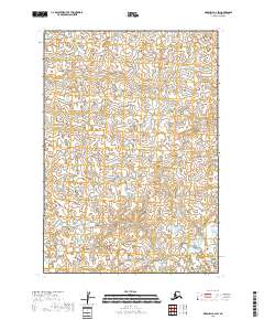
2018 Map of Marshall B-2 SW
USGS Topo · Published 2018About this map
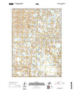
Kuka Cr winds through this expanse of the Alaska tundra, marking the primary drainage within a landscape dominated by complex wetland patterns. Located within the t15n r74w and t14n r75w townships of the Bethel Census Area, the terrain is characterized by a dense network of ponds and small lakes that shift with the seasons. This 2018 survey documents the intricate hydrography of the region, where the lack of established roads or permanent settlements highlights the reliance on natural watercourses for navigation. The map's grid system, including t13n r74w, provides the essential framework for understanding the vast, unmarked wilderness of the Yukon-Kuskokwim Delta region during the early 21st century.
Find a feature on this map
7 named features on this map. Tap any name to fly to it.
Don’t see what you’re looking for? This feature index may not catch every label — zoom into the map to look around manually.
Map Details
Editions of this 2018 Marshall B-2 SW Map
This is the sole edition of this map. No revisions or reprints were ever made.
Other maps of this area

1951 · Marshall
USGS Topo · 1:250,000

1954 · Marshall B-3
USGS Topo · 1:63,360

1954 · Marshall A-2
USGS Topo · 1:63,360

1954 · Marshall A-3
USGS Topo · 1:63,360
1954 · Marshall B-2
USGS Topo · 1:63,360

1954 · Marshall
USGS Topo · 1:250,000
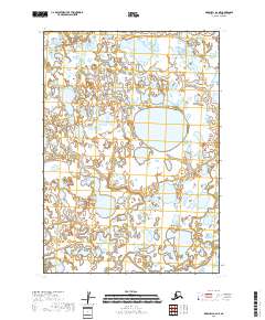
2018 · Marshall A-2 NE
USGS Topo · 1:25,000
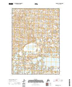
2018 · Marshall B-2 SE
USGS Topo · 1:25,000
2018 · Marshall A-2 NW
USGS Topo · 1:25,000
2018 · Marshall B-2 NE
USGS Topo · 1:25,000