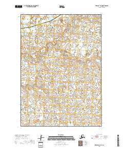
2018 Map of Marshall B-3 NE
USGS Topo · Published 2018About this map
The Izaviknek River winds through the northern reaches of this landscape, a remote expanse of wetlands and small water bodies that characterize the Yukon-Kuskokwim Delta region. The terrain is defined by a dense network of ponds and marshes, typical of the low-lying alluvial plains in western Alaska. This particular area serves as a geographic threshold, marked by the administrative boundary between the Kusilvak Census Area and the Bethel Census Area. The lack of road infrastructure or permanent settlements highlighted in this 2018 survey emphasizes the isolation of the river system and the reliance on seasonal water routes or air travel for navigation through the surrounding tundra and marshland habitats.
Find a feature on this map
6 named features on this map. Tap any name to fly to it.
Don’t see what you’re looking for? This feature index may not catch every label — zoom into the map to look around manually.
Map Details
Editions of this 2018 Marshall B-3 NE Map
This is the sole edition of this map. No revisions or reprints were ever made.
Other maps of this area

1951 · Marshall
USGS Topo · 1:250,000

1954 · Marshall C-3
USGS Topo · 1:63,360
1954 · Marshall C-2
USGS Topo · 1:63,360

1954 · Marshall B-3
USGS Topo · 1:63,360
1954 · Marshall B-2
USGS Topo · 1:63,360

1954 · Marshall
USGS Topo · 1:250,000
2018 · Marshall B-2 SW
USGS Topo · 1:25,000
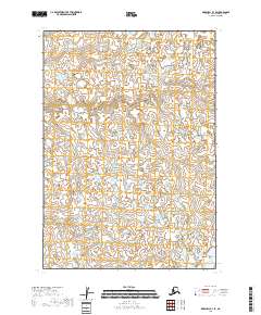
2018 · Marshall B-3 SE
USGS Topo · 1:25,000
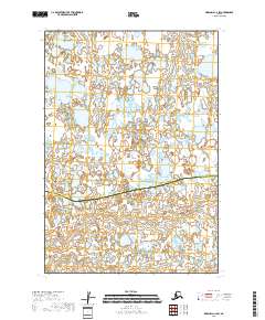
2018 · Marshall C-2 SW
USGS Topo · 1:25,000
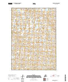
2018 · Marshall B-2 NW
USGS Topo · 1:25,000