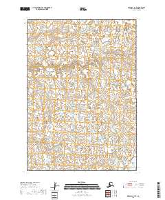
2018 Map of Marshall B-3 SE
USGS Topo · Published 2018About this map
The Kuka Cr waterway winds through a landscape of immense water-saturated lowlands and complex wetland networks in this 2018 survey of the Bethel Census Area. This particular section of Alaska is defined by its repetitive, intricate hydrography, showing a dense mosaic of small lakes and ponds that dominate the terrain. The lack of named settlements or man-made infrastructure underscores the isolation and natural character of the region during the early 21st century. Instead of roads or towns, the map details the vast hydrological complexity that characterizes the Yukon-Kuskokwim Delta region, providing an essential record of the surface water patterns as they existed before recent shifts in Arctic climate and permafrost conditions. It is a specialized resource for those studying the shifting waterways and environmental history of this specific Alaskan wilderness.
Find a feature on this map
6 named features on this map. Tap any name to fly to it.
Don’t see what you’re looking for? This feature index may not catch every label — zoom into the map to look around manually.
Map Details
Editions of this 2018 Marshall B-3 SE Map
This is the sole edition of this map. No revisions or reprints were ever made.
Other maps of this area

1951 · Marshall
USGS Topo · 1:250,000

1954 · Marshall B-3
USGS Topo · 1:63,360

1954 · Marshall A-2
USGS Topo · 1:63,360

1954 · Marshall A-3
USGS Topo · 1:63,360
1954 · Marshall B-2
USGS Topo · 1:63,360

1954 · Marshall
USGS Topo · 1:250,000
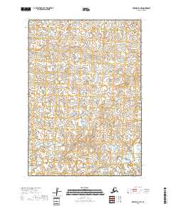
2018 · Marshall B-2 SW
USGS Topo · 1:25,000
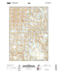
2018 · Marshall A-2 NW
USGS Topo · 1:25,000
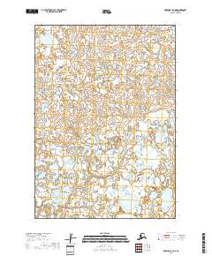
2018 · Marshall A-3 NE
USGS Topo · 1:25,000
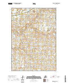
2018 · Marshall B-3 NE
USGS Topo · 1:25,000