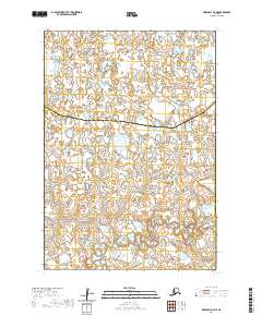
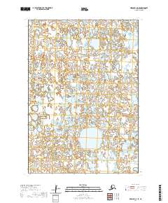
2020 Map of Marshall B-4 NE
USGS Topo · Published 2020About this map
The Kusilvak Census Area and Bethel Census Area boundary runs through this remote wetland landscape in western Alaska. The terrain is defined by a dense network of ponds and winding watercourses, including the Chakaktolik Cr and the Izaviknek River in the southeast corner. This 2020 survey demonstrates the intricate hydrography of the region, where the lack of roads or permanent settlements emphasizes the dominance of the natural river systems and marshlands. The division between these two census areas is the primary human-imposed feature on an otherwise wild landscape, providing a clear administrative look at the region's geography at the start of the decade.
Find a feature on this map
7 named features on this map. Tap any name to fly to it.
Don’t see what you’re looking for? This feature index may not catch every label — zoom into the map to look around manually.
Map Details
Editions of this 2020 Marshall B-4 NE Map
This is the sole edition of this map. No revisions or reprints were ever made.
Other maps of this area

1951 · Marshall
USGS Topo · 1:250,000

1954 · Marshall B-4
USGS Topo · 1:63,360

1954 · Marshall C-3
USGS Topo · 1:63,360

1954 · Marshall B-3
USGS Topo · 1:63,360

1954 · Marshall C-4
USGS Topo · 1:63,360

1954 · Marshall
USGS Topo · 1:250,000
2020 · Marshall B-4 NW
USGS Topo · 1:25,000
2020 · Marshall B-4 SW
USGS Topo · 1:25,000
2020 · Marshall B-4 SE
USGS Topo · 1:25,000
2020 · Marshall C-4 SE
USGS Topo · 1:25,000