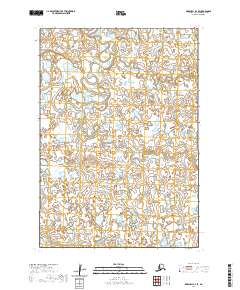
2020 Map of Marshall B-4 SE
USGS Topo · Published 2020About this map
Izaviknek River and Koke Creek dominate this landscape within the Bethel Census Area, illustrating the complex drainage patterns of the Alaskan tundra. The winding course of the Izaviknek River in the northwestern portion of the map showcases a highly active alluvial system, where numerous oxbow lakes and abandoned channels testify to the river's historical migration across the low-lying terrain. This area is characterized by an intricate network of wetlands and small ponds, a common feature of the Yukon-Kuskokwim Delta region. The lack of named settlements or infrastructure highlights the isolation of this watery wilderness, where the geography is defined entirely by natural waterways and the legal township boundaries of the Public Land Survey System, such as t15n r78w and t14n r77w.
Find a feature on this map
8 named features on this map. Tap any name to fly to it.
Don’t see what you’re looking for? This feature index may not catch every label — zoom into the map to look around manually.
Map Details
Editions of this 2020 Marshall B-4 SE Map
This is the sole edition of this map. No revisions or reprints were ever made.
Other maps of this area

1951 · Marshall
USGS Topo · 1:250,000

1954 · Marshall B-4
USGS Topo · 1:63,360

1954 · Marshall B-3
USGS Topo · 1:63,360

1954 · Marshall A-3
USGS Topo · 1:63,360
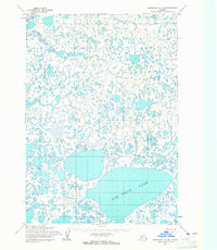
1954 · Marshall A-4
USGS Topo · 1:63,360

1954 · Marshall
USGS Topo · 1:250,000
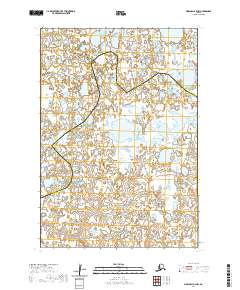
2020 · Marshall B-4 NW
USGS Topo · 1:25,000
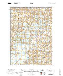
2020 · Marshall B-4 SW
USGS Topo · 1:25,000
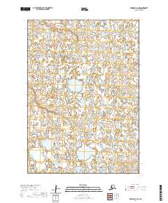
2020 · Marshall A-4 NE
USGS Topo · 1:25,000
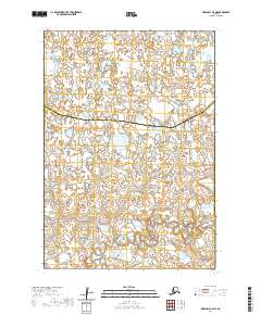
2020 · Marshall B-4 NE
USGS Topo · 1:25,000