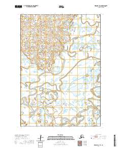
2020 Map of Marshall C-7 SE
USGS Topo · Published 2020About this map
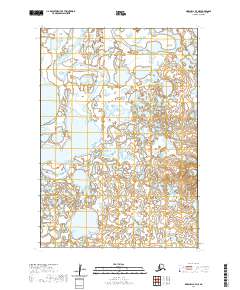
The Manokinak River and the Nungatak River define the intricate drainage patterns of this Alaskan landscape in the Kusilvak Census Area. This map illustrates a transition from the lower-lying wetlands and river bends of the south to the more elevated, complex terrain of the northern reaches. The presence of Cross Slough indicates the shifting nature of the local waterways, which are critical for navigation and subsistence in this environment. Surveyed data from the U.S. Geological Survey reveals a landscape dominated by water-carved features and specific township and range demarcations, including t17n r83w and t18n r83w, which provide the essential spatial framework for this remote region of Alaska.
Find a feature on this map
9 named features on this map. Tap any name to fly to it.
Don’t see what you’re looking for? This feature index may not catch every label — zoom into the map to look around manually.
Map Details
Editions of this 2020 Marshall C-7 SE Map
This is the sole edition of this map. No revisions or reprints were ever made.
Other maps of this area

1951 · Marshall
USGS Topo · 1:250,000

1952 · Marshall C-7
USGS Topo · 1:63,360

1952 · Marshall C-6
USGS Topo · 1:63,360

1953 · Marshall B-6
USGS Topo · 1:63,360

1953 · Marshall B-7
USGS Topo · 1:63,360

1954 · Marshall
USGS Topo · 1:250,000
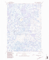
1957 · Marshall B-7
USGS Topo · 1:63,360
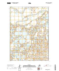
2020 · Marshall C-7 NW
USGS Topo · 1:25,000
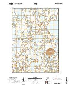
2020 · Marshall B-7 NW
USGS Topo · 1:25,000
2020 · Marshall B-7 NE
USGS Topo · 1:25,000