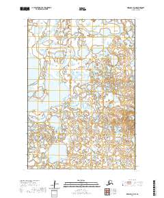
2020 Map of Marshall B-7 NE
USGS Topo · Published 2020About this map
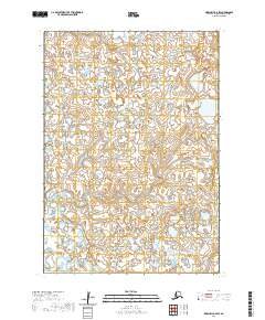
The Manokinak River meanders across this expansive wetland landscape within the Kusilvak Census Area, defining a terrain dominated by water and complex hydrology. This 2020 topographic survey illustrates a remote portion of the Yukon-Kuskokwim Delta, where the braided river systems and numerous small ponds create a mosaic of aquatic environments. Notable among these is Nuskealik Lake, a prominent water body in the northwestern sector of the quadrangle. The map detail reflects the intricate network of tidal flats and marshy ground characteristic of the region. The absence of roads or permanent structures underscores the isolation of this riverine corridor, where land use is dictated by the seasonal patterns of the water. Surveyed boundaries for T16N R85W and T16N R84W provide the primary human-imposed framework over an otherwise largely natural Alaskan wilderness.
Find a feature on this map
6 named features on this map. Tap any name to fly to it.
Don’t see what you’re looking for? This feature index may not catch every label — zoom into the map to look around manually.
Map Details
Editions of this 2020 Marshall B-7 NE Map
This is the sole edition of this map. No revisions or reprints were ever made.
Other maps of this area

1951 · Marshall
USGS Topo · 1:250,000

1952 · Marshall C-7
USGS Topo · 1:63,360

1952 · Marshall C-6
USGS Topo · 1:63,360

1953 · Marshall B-6
USGS Topo · 1:63,360

1953 · Marshall B-7
USGS Topo · 1:63,360

1954 · Marshall
USGS Topo · 1:250,000
1957 · Marshall B-7
USGS Topo · 1:63,360
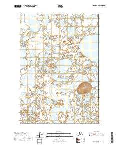
2020 · Marshall B-7 NW
USGS Topo · 1:25,000
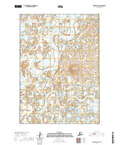
2020 · Marshall B-7 SW
USGS Topo · 1:25,000
2020 · Marshall B-6 SW
USGS Topo · 1:25,000