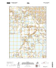
2020 Map of Marshall C-7 SW
USGS Topo · Published 2020About this map
Nungatak River meanders across this low-lying stretch of the Kusilvak Census Area, defining a landscape dominated by complex hydrological patterns and seasonal wetlands. The map identifies Nuigalak Lake as a central feature in the southwest quadrant, surrounded by an intricate network of smaller ponds and saturated plains typical of the Yukon-Kuskokwim Delta. In the northwest, Wrong Creek feeds into the larger river system, illustrating the subtle drainage shifts of this permafrost-influenced terrain. The lack of roads or established settlements emphasizes the reliance on these waterways for navigation and traditional land use within the township boundaries of t17n r84w and surrounding ranges.
Find a feature on this map
9 named features on this map. Tap any name to fly to it.
Don’t see what you’re looking for? This feature index may not catch every label — zoom into the map to look around manually.
Map Details
Editions of this 2020 Marshall C-7 SW Map
This is the sole edition of this map. No revisions or reprints were ever made.
Other maps of this area

1951 · Marshall
USGS Topo · 1:250,000

1952 · Marshall C-7
USGS Topo · 1:63,360
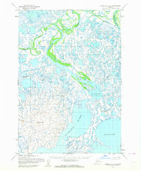
1952 · Marshall C-8
USGS Topo · 1:63,360
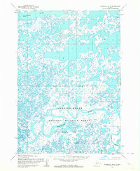
1953 · Marshall B-8
USGS Topo · 1:63,360

1953 · Marshall B-7
USGS Topo · 1:63,360

1954 · Marshall
USGS Topo · 1:250,000
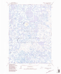
1957 · Marshall B-7
USGS Topo · 1:63,360
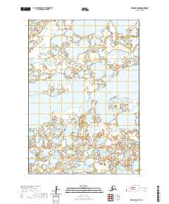
2020 · Marshall B-8 NE
USGS Topo · 1:25,000
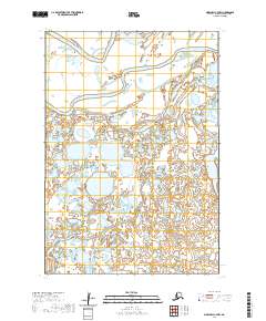
2020 · Marshall C-7 NW
USGS Topo · 1:25,000
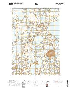
2020 · Marshall B-7 NW
USGS Topo · 1:25,000