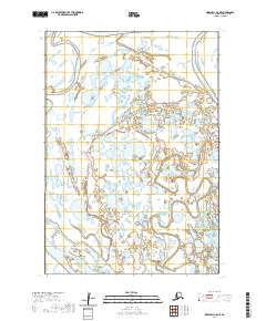
2020 Map of Marshall C-8 NE
USGS Topo · Published 2020About this map
Kashunuk River meanders across this low-lying landscape in the Kusilvak Census Area, defining a territory of complex hydrology and seasonal wetlands. The waterway's intricate path is joined by the aptly named Wrong Creek, which snakes through the eastern portion of the survey. This 2020 map documents the shifting hydrography of the Alaskan tundra, where the relationship between moving water and stationary land is constantly in flux. The absence of roads or settlements underscores the isolation of this region, focusing entirely on the natural drainage patterns and the surveyed boundaries of Townships 18 and 19 North. Researchers can observe the dense network of unnamed ponds and sloughs that characterize the drainage basin between these primary watercourses.
Find a feature on this map
6 named features on this map. Tap any name to fly to it.
Don’t see what you’re looking for? This feature index may not catch every label — zoom into the map to look around manually.
Map Details
Editions of this 2020 Marshall C-8 NE Map
This is the sole edition of this map. No revisions or reprints were ever made.
Other maps of this area

1951 · Marshall
USGS Topo · 1:250,000

1952 · Marshall C-7
USGS Topo · 1:63,360
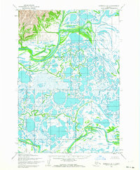
1952 · Marshall D-7
USGS Topo · 1:63,360
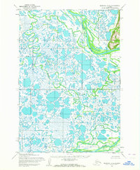
1952 · Marshall D-8
USGS Topo · 1:63,360
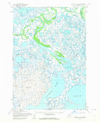
1952 · Marshall C-8
USGS Topo · 1:63,360

1954 · Marshall
USGS Topo · 1:250,000
2020 · Marshall C-8 SW
USGS Topo · 1:25,000
2020 · Marshall D-8 SW
USGS Topo · 1:25,000
2020 · Marshall C-7 NW
USGS Topo · 1:25,000
2020 · Marshall C-8 NW
USGS Topo · 1:25,000