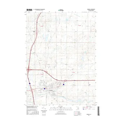
2017 Map of Marshall
USGS Topo · Published 2017About this map
Marshall sits at the confluence of the Kalamazoo River and Rice Creek, serving as a central hub in Calhoun County. The town's historic footprint is well-defined by its grid, with Brooks Field located to the south and Oakridge Cem near the riverbanks. The surrounding landscape is dotted with several smaller bodies of water, including Lake of the Woods, Pardy Lake, and Potter Lake, while the rural outskirts are marked by numerous family and community burial grounds such as Porter Cem and Hotchkiss Cem. One notable site of local interest is the Calhoun County Poor Farm Cem, providing a direct link to the area's social history. The intersection of modern infrastructure and the natural river system highlights the town's enduring role as a regional crossroads.
Find a feature on this map
113 named features on this map. Tap any name to fly to it.
Don’t see what you’re looking for? This feature index may not catch every label — zoom into the map to look around manually.
Map Details
Editions of this 2017 Marshall Map
This is the sole edition of this map. No revisions or reprints were ever made.
Other maps of this area

1918 · Battle Creek
USGS Topo · 1:62,500

1918 · Union City
USGS Topo · 1:62,500

1921 · Marshall
USGS Topo · 1:62,500

1923 · Marshall
USGS Topo · 1:62,500

1943 · Battle Creek
USGS Topo · 1:62,500

1943 · Marshall
USGS Topo · 1:62,500

1947 · Bellevue
USGS Topo · 1:24,000

1947 · Ceresco
USGS Topo · 1:24,000

1947 · Union City
USGS Topo · 1:62,500

1948 · Homer
USGS Topo · 1:62,500