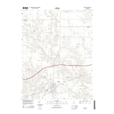
2015 Map of Marshall
USGS Topo · Published 2015About this map
The National Rd serves as a central spine for this section of Clark County, anchoring the development of Marshall and the surrounding residential communities of Oakcrest, Fox Run, and Golf Lakes. This 2015 edition captures the modern landscape where historical transit routes meet newer suburban expansion. North of the city, the terrain is defined by the winding paths of West Fork Big Creek and East Fork Big Creek, where traditional family-named burial grounds like Forsythe Cem and Quinn Cem remain situated on the high ground between the drainages.
Find a feature on this map
79 named features on this map. Tap any name to fly to it.
Don’t see what you’re looking for? This feature index may not catch every label — zoom into the map to look around manually.
Map Details
Editions of this 2015 Marshall Map
This is the sole edition of this map. No revisions or reprints were ever made.
Other maps of this area

1932 · Marshall
USGS Topo · 1:62,500

1936 · Casey
USGS Topo · 1:48,000

1937 · Marshall
USGS Topo · 1:62,500

1942 · Hutton
USGS Topo · 1:24,000

1942 · Dennison
USGS Topo · 1:24,000

1942 · Casey
USGS Topo · 1:62,500

1943 · Casey
USGS Topo · 1:62,500

1946 · Kansas
USGS Topo · 1:62,500

1947 · Paris
USGS Topo · 1:62,500

1949 · Kansas
USGS Topo · 1:62,500