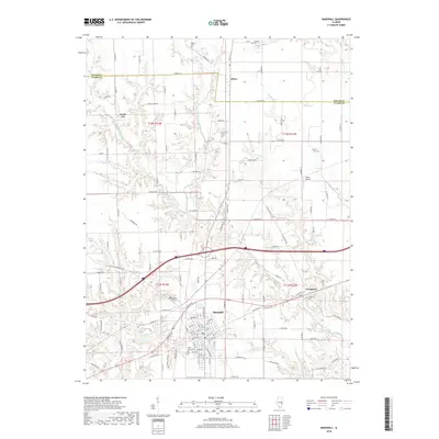
2018 Map of Marshall
USGS Topo · Published 2018About this map
The Clark County seat of Marshall serves as the central hub of this East Central Illinois landscape, where the grid of rural township roads meets the winding courses of the local drainage system. The settlement pattern is defined by the intersection of major transit corridors and the branching waters of Big Creek and the West Fork Big Creek. To the northeast, the village of Livingston sits near the Livingston Cemetery, while the small community of Oliver is positioned along the northern border near the Edgar and Clark County line.
Find a feature on this map
130 named features on this map. Tap any name to fly to it.
Don’t see what you’re looking for? This feature index may not catch every label — zoom into the map to look around manually.
Map Details
Editions of this 2018 Marshall Map
This is the sole edition of this map. No revisions or reprints were ever made.
Other maps of this area

1932 · Marshall
USGS Topo · 1:62,500

1936 · Casey
USGS Topo · 1:48,000

1937 · Marshall
USGS Topo · 1:62,500

1942 · Hutton
USGS Topo · 1:24,000

1942 · Dennison
USGS Topo · 1:24,000

1942 · Casey
USGS Topo · 1:62,500

1943 · Casey
USGS Topo · 1:62,500

1946 · Kansas
USGS Topo · 1:62,500

1947 · Paris
USGS Topo · 1:62,500

1949 · Kansas
USGS Topo · 1:62,500