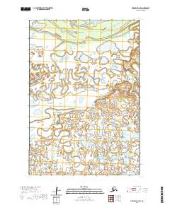
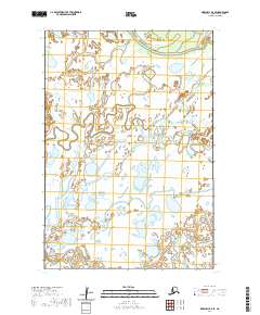
2020 Map of Marshall D-3 SW
USGS Topo · Published 2020About this map
The Kashunuk River meanders across this low-lying landscape within the Kusilvak Census Area, defining a complex network of wetlands and shifting waterways. This 2020 USGS survey illustrates the intricate drainage patterns of the Yukon Delta region, where the Driftwood Slough and Takonak Creek (also labeled Takonak Cr) snake through a terrain dominated by marshes and small ponds. The Pitnik River appears in the southwestern portion of the quadrangle, contributing to the dense hydrographic profile of the area. These waterways served as vital transportation corridors for indigenous populations long before modern mapping. The absence of roads or permanent settlements within these boundaries underscores the wild, water-dominated nature of this Arctic environment, where the landscape is constantly reshaped by seasonal flows and the slow movement of the delta's distributive channels.
Find a feature on this map
11 named features on this map. Tap any name to fly to it.
Don’t see what you’re looking for? This feature index may not catch every label — zoom into the map to look around manually.
Map Details
Editions of this 2020 Marshall D-3 SW Map
This is the sole edition of this map. No revisions or reprints were ever made.
Other maps of this area

1951 · Marshall
USGS Topo · 1:250,000

1952 · Marshall D-4
USGS Topo · 1:63,360

1952 · Marshall D-3
USGS Topo · 1:63,360

1954 · Marshall C-3
USGS Topo · 1:63,360

1954 · Marshall C-4
USGS Topo · 1:63,360

1954 · Marshall
USGS Topo · 1:250,000
2018 · Marshall C-3 NE
USGS Topo · 1:25,000
2018 · Marshall D-3 SE
USGS Topo · 1:25,000
2018 · Marshall D-3 NE
USGS Topo · 1:25,000
2020 · Marshall D-4 SE
USGS Topo · 1:25,000