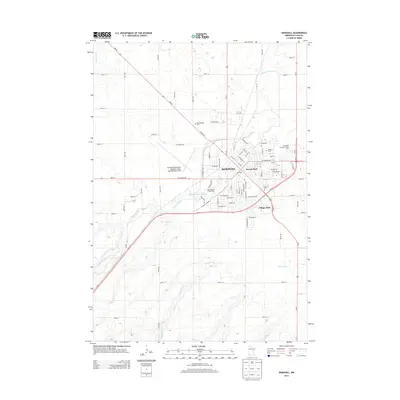
2013 Map of Marshall
USGS Topo · Published 2013About this map
The city of Marshall serves as a prominent regional hub in this 2013 survey, where the Redwood River and Meadow Cr define the prairie landscape. The urban layout is characterized by a dense network of residential streets such as Elizabeth St and Donita Ave, centered around the core business district near the Po. Notable institutional footprints include the expansive campus of Southwest Minnesota State Univ and the Southwest Minnesota Regional Airport - Marshall/Ryan Field, indicating the city's role as an educational and transportation center for Lyon County.
Find a feature on this map
77 named features on this map. Tap any name to fly to it.
Don’t see what you’re looking for? This feature index may not catch every label — zoom into the map to look around manually.
Map Details
Editions of this 2013 Marshall Map
This is the sole edition of this map. No revisions or reprints were ever made.
Other maps of this area

1953 · New Ulm
USGS Topo · 1:250,000

1957 · New Ulm
USGS Topo · 1:250,000

1958 · New Ulm
USGS Topo · 1:250,000

1962 · Dudley
USGS Topo · 1:24,000

1962 · Cottonwood
USGS Topo · 1:24,000

1962 · Amiret
USGS Topo · 1:24,000

1963 · Russell
USGS Topo · 1:24,000

1963 · Lynd
USGS Topo · 1:24,000

1963 · Marshall SE
USGS Topo · 1:24,000

1963 · Marshall
USGS Topo · 1:24,000