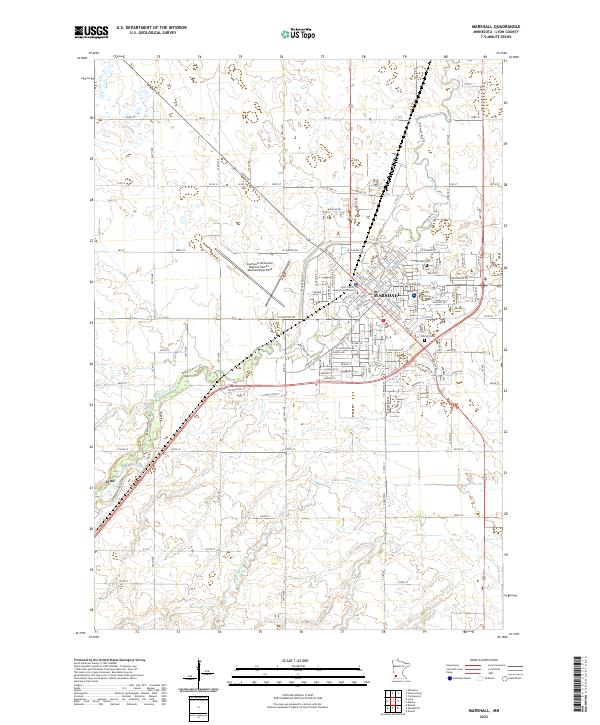
2022 Map of Marshall
USGS Topo · Published 2022About this map
Marshall serves as the focal point of this Lyon County landscape, where the Redwood River winds through the city center near the Lyon County Government Center. The city's northern and eastern expansion is marked by established landmarks such as Marshall Cem and Calvary Cem, while the Southwest Minnesota Regional Airport - Marshall/Ryan Field occupies a significant footprint to the northwest. The surrounding prairie terrain is drained by several watercourses, including Threemile Cr and Meadow Cr, which flow through a geometric grid of county roads like Co Hwy 33.
Find a feature on this map
62 named features on this map. Tap any name to fly to it.
Don’t see what you’re looking for? This feature index may not catch every label — zoom into the map to look around manually.
Map Details
Editions of this 2022 Marshall Map
This is the sole edition of this map. No revisions or reprints were ever made.
Other maps of this area

1953 · New Ulm
USGS Topo · 1:250,000

1957 · New Ulm
USGS Topo · 1:250,000

1958 · New Ulm
USGS Topo · 1:250,000

1962 · Dudley
USGS Topo · 1:24,000

1962 · Cottonwood
USGS Topo · 1:24,000

1962 · Amiret
USGS Topo · 1:24,000

1963 · Russell
USGS Topo · 1:24,000

1963 · Lynd
USGS Topo · 1:24,000

1963 · Marshall SE
USGS Topo · 1:24,000

1963 · Marshall
USGS Topo · 1:24,000