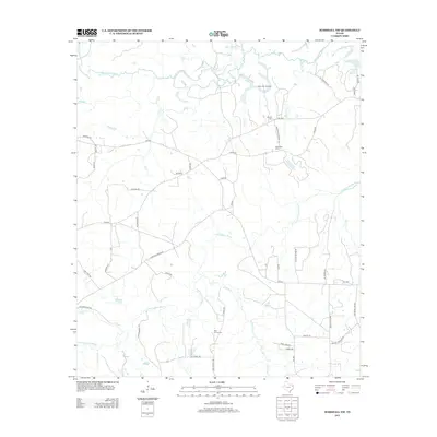
2013 Map of Marshall NW
USGS Topo · Published 2013About this map
Big Cypress Bayou and Little Cypress Bayou define the drainage of this Harrison County landscape, winding through a network of rural roads and scattered industrial sites. The northern reach is marked by the Vickie Lynn Oil Field, signifying the region's petroleum history, while local genealogy is rooted in several established burial grounds like Saint James Cem, Meadows Cem, and Brantly Cem.
Find a feature on this map
51 named features on this map. Tap any name to fly to it.
Don’t see what you’re looking for? This feature index may not catch every label — zoom into the map to look around manually.
Map Details
Editions of this 2013 Marshall NW Map
This is the sole edition of this map. No revisions or reprints were ever made.
Other maps of this area

1956 · Tyler
USGS Topo · 1:250,000

1961 · Hallsville
USGS Topo · 1:24,000

1961 · Lassater
USGS Topo · 1:24,000

1961 · Harleton
USGS Topo · 1:24,000

1962 · Kellyville
USGS Topo · 1:24,000

1962 · Marshall NW
USGS Topo · 1:24,000

1962 · Marshall West
USGS Topo · 1:24,000

1962 · Woodlawn
USGS Topo · 1:24,000

1962 · Jefferson
USGS Topo · 1:24,000

1962 · Marshall East
USGS Topo · 1:24,000