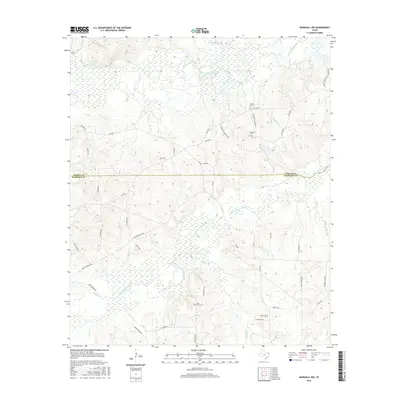
2016 Map of Marshall NW
USGS Topo · Published 2016About this map
The Big Cypress Bayou and Little Cypress Bayou define the complex wetlands along the border of Marion Co and Harrison Co in East Texas. This 2016 survey documents a landscape of dense watercourses and rural crossings, where the low-lying topography is carved by streams like Rainey Creek, Bear Creek, and French Creek. Local history is anchored by several small burial grounds, including Saint James Cemetery and Meadows Cemetery, which are connected by a network of farm-to-market roads and named routes such as FM 2208 and Meadows Cemetery Road.
Find a feature on this map
49 named features on this map. Tap any name to fly to it.
Don’t see what you’re looking for? This feature index may not catch every label — zoom into the map to look around manually.
Map Details
Editions of this 2016 Marshall NW Map
This is the sole edition of this map. No revisions or reprints were ever made.
Other maps of this area

1956 · Tyler
USGS Topo · 1:250,000

1961 · Hallsville
USGS Topo · 1:24,000

1961 · Lassater
USGS Topo · 1:24,000

1961 · Harleton
USGS Topo · 1:24,000

1962 · Kellyville
USGS Topo · 1:24,000

1962 · Marshall NW
USGS Topo · 1:24,000

1962 · Marshall West
USGS Topo · 1:24,000

1962 · Woodlawn
USGS Topo · 1:24,000

1962 · Jefferson
USGS Topo · 1:24,000

1962 · Marshall East
USGS Topo · 1:24,000