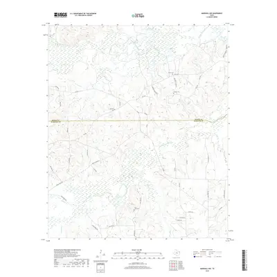
2019 Map of Marshall NW
USGS Topo · Published 2019About this map
Big Cypress Bayou and Little Cypress Bayou define the hydrology of this rural landscape along the Marion and Harrison County line. This region is characterized by a dense network of secondary roads and family-named landmarks that hint at the area's ancestral depth. Genealogists can identify several key burial sites, including Saint James Cem near the central drainage of Rainey Cr, as well as Meadows Cem and Brantly Cem in the northern reaches. The terrain is marked by numerous small tributaries like Bear Cr, Maddox Br, and French Cr, which historically dictated the placement of local crossings such as Driskell Bridge Rd and Craver Bridge Rd. This survey provides a clear look at the contemporary rural road system, connecting small properties via routes like Jackson Rd and Mae Oney Rd.
Find a feature on this map
48 named features on this map. Tap any name to fly to it.
Don’t see what you’re looking for? This feature index may not catch every label — zoom into the map to look around manually.
Map Details
Editions of this 2019 Marshall NW Map
This is the sole edition of this map. No revisions or reprints were ever made.
Other maps of this area

1956 · Tyler
USGS Topo · 1:250,000

1961 · Hallsville
USGS Topo · 1:24,000

1961 · Lassater
USGS Topo · 1:24,000

1961 · Harleton
USGS Topo · 1:24,000

1962 · Kellyville
USGS Topo · 1:24,000

1962 · Marshall NW
USGS Topo · 1:24,000

1962 · Marshall West
USGS Topo · 1:24,000

1962 · Woodlawn
USGS Topo · 1:24,000

1962 · Jefferson
USGS Topo · 1:24,000

1962 · Marshall East
USGS Topo · 1:24,000