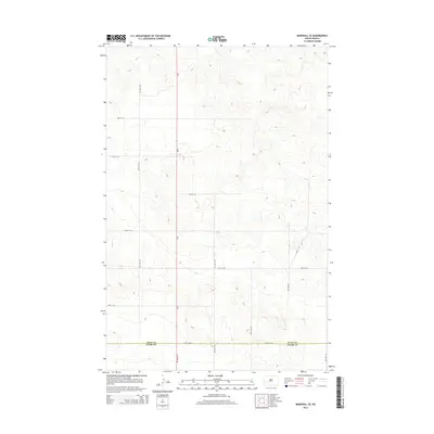
2014 Map of Marshall SE
USGS Topo · Published 2014About this map
The boundary between Dunn Co and Stark Co bisects this rural landscape in western North Dakota. Centered on the north-south artery of Nd-8, the map reveals a strictly organized section-line grid that dictates the placement of local infrastructure. Roads like 88th Ave SW and 83rd Ave SW run parallel to the highway, creating a uniform pattern typical of the Great Plains' agricultural layout. The terrain is defined by undulating hills and natural drainages that occasionally disrupt the straight lines of the township and range system. This 2014 survey documents the persistence of this rural network, showing how primary routes like 22nd St SW and 28th St SW connect the high plateaus and lower drainage basins across the two counties.
Find a feature on this map
16 named features on this map. Tap any name to fly to it.
Don’t see what you’re looking for? This feature index may not catch every label — zoom into the map to look around manually.
Map Details
Editions of this 2014 Marshall SE Map
This is the sole edition of this map. No revisions or reprints were ever made.
Other maps of this area

1953 · Dickinson
USGS Topo · 1:250,000

1953 · Watford City
USGS Topo · 1:250,000

1957 · Dickinson
USGS Topo · 1:250,000

1957 · Watford City
USGS Topo · 1:250,000

1967 · Watford City
USGS Topo · 1:250,000

1973 · Marshall SE
USGS Topo · 1:24,000

1973 · Taylor
USGS Topo · 1:24,000

1973 · Willow Creek West
USGS Topo · 1:24,000

1973 · Schaffner Creek
USGS Topo · 1:24,000

1973 · Marshall SW
USGS Topo · 1:24,000