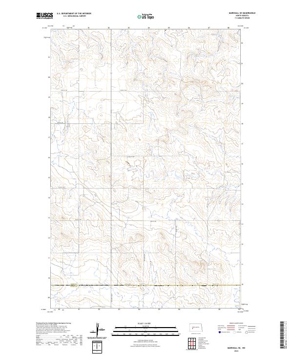
2024 Map of Marshall SE
USGS Topo · Published 2024About this map
High plains terrain and sectional grazing land define this portion of North Dakota, situated precisely along the border of Dunn Co and Stark Co. The landscape is organized by a sparse but rigid grid of section roads, including 28th St SW which follows the county line. The map captures a contemporary snapshot of rural land management in the Missouri Plateau region, where the primary human footprint consists of surveyed section lines such as t141n r92w and north-south connectors like 87th Ave SW. This area is characterized by drainage patterns and minor coulees that break the otherwise methodical township and range system, providing a clear look at how the modern road network adapts to the natural topography between 22nd St SW and the southern reaches of the quadrangle.
Find a feature on this map
14 named features on this map. Tap any name to fly to it.
Don’t see what you’re looking for? This feature index may not catch every label — zoom into the map to look around manually.
Map Details
Editions of this 2024 Marshall SE Map
This is the sole edition of this map. No revisions or reprints were ever made.
Other maps of this area

1953 · Dickinson
USGS Topo · 1:250,000

1953 · Watford City
USGS Topo · 1:250,000

1957 · Dickinson
USGS Topo · 1:250,000

1957 · Watford City
USGS Topo · 1:250,000

1967 · Watford City
USGS Topo · 1:250,000

1973 · Marshall SE
USGS Topo · 1:24,000

1973 · Taylor
USGS Topo · 1:24,000

1973 · Willow Creek West
USGS Topo · 1:24,000

1973 · Schaffner Creek
USGS Topo · 1:24,000

1973 · Marshall SW
USGS Topo · 1:24,000