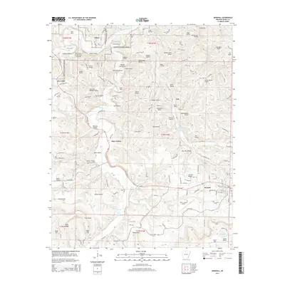
2014 Map of Marshall
USGS Topo · Published 2014About this map
The Buffalo National River corridor shapes the northern landscape of this region, winding past Lane Bend and Crane Bottom as it flows through the Ozark terrain. The settlement of Gilbert sits on the river's edge, while the city of Marshall serves as the primary hub to the southeast, anchored by the Searcy County Airport. The area's topography is defined by a dense network of named hollows and bottoms, such as Gold Mine Hollow and Patterson Bottom, which reflect a history of local land use and resource extraction.
Find a feature on this map
149 named features on this map. Tap any name to fly to it.
Don’t see what you’re looking for? This feature index may not catch every label — zoom into the map to look around manually.
Map Details
Editions of this 2014 Marshall Map
This is the sole edition of this map. No revisions or reprints were ever made.
Other maps of this area

1892 · Marshall
USGS Topo · 1:125,000

1893 · Yellville
USGS Topo · 1:125,000

1894 · Marshall
USGS Topo · 1:125,000

1901 · Marshall
USGS Topo · 1:125,000

1903 · Yellville
USGS Topo · 1:125,000

1905 · Yellville
USGS Topo · 1:125,000

1929 · Yellville
USGS Topo · 1:125,000

1939 · Snowball
USGS Topo · 1:62,500

1941 · Snowball
USGS Topo · 1:62,500

1942 · Snowball
USGS Topo · 1:62,500