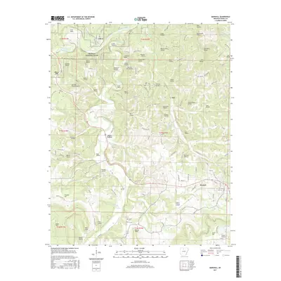
2017 Map of Marshall
USGS Topo · Published 2017About this map
The Buffalo National River corridor dominates the northern reaches of this landscape, winding through pronounced geography like Lane Bend and Crane Bottom. The terrain is defined by an intricate network of hollows, many bearing the names of local families and activities, such as Hensley Hollow, Browning Hollow, and the evocative Dipping Vat Hollow. These names reflect the agricultural and livestock history of the Ozark foothills, where narrow valleys provided essential shelter and water.
Find a feature on this map
143 named features on this map. Tap any name to fly to it.
Don’t see what you’re looking for? This feature index may not catch every label — zoom into the map to look around manually.
Map Details
Editions of this 2017 Marshall Map
This is the sole edition of this map. No revisions or reprints were ever made.
Other maps of this area

1892 · Marshall
USGS Topo · 1:125,000

1893 · Yellville
USGS Topo · 1:125,000

1894 · Marshall
USGS Topo · 1:125,000

1901 · Marshall
USGS Topo · 1:125,000

1903 · Yellville
USGS Topo · 1:125,000

1905 · Yellville
USGS Topo · 1:125,000

1929 · Yellville
USGS Topo · 1:125,000

1939 · Snowball
USGS Topo · 1:62,500

1941 · Snowball
USGS Topo · 1:62,500

1942 · Snowball
USGS Topo · 1:62,500