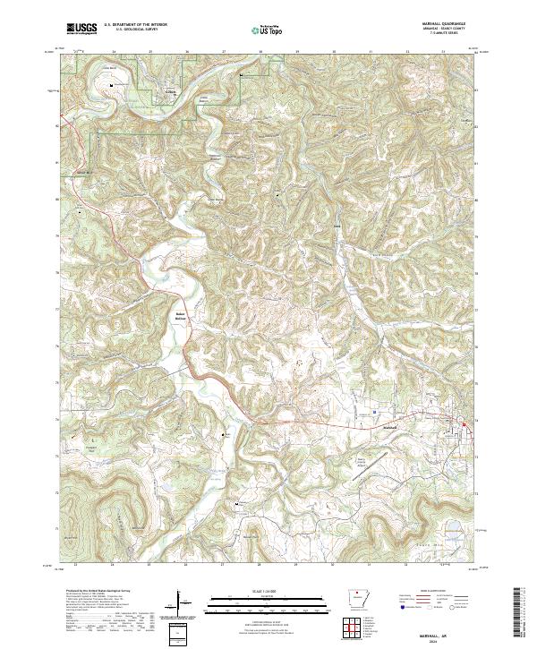
2024 Map of Marshall
USGS Topo · Published 2024About this map
The Buffalo National River carves through the northern reaches of this Ozark landscape, defining a terrain of deep hollows and high points like Gobblers Knob. The settlement of Marshall serves as the regional hub, anchored by the Searcy County Courthouse and supported by the Searcy County Airport to the south. Smaller communities such as Gilbert, Zack, and Silver Hill are scattered throughout the hills, connected by a network of winding roads like the Searcy 416 Hwy and Zack Ridge Rd.
Find a feature on this map
138 named features on this map. Tap any name to fly to it.
Don’t see what you’re looking for? This feature index may not catch every label — zoom into the map to look around manually.
Map Details
Editions of this 2024 Marshall Map
This is the sole edition of this map. No revisions or reprints were ever made.
Other maps of this area

1892 · Marshall
USGS Topo · 1:125,000

1893 · Yellville
USGS Topo · 1:125,000

1894 · Marshall
USGS Topo · 1:125,000

1901 · Marshall
USGS Topo · 1:125,000

1903 · Yellville
USGS Topo · 1:125,000

1905 · Yellville
USGS Topo · 1:125,000

1929 · Yellville
USGS Topo · 1:125,000

1939 · Snowball
USGS Topo · 1:62,500

1941 · Snowball
USGS Topo · 1:62,500

1942 · Snowball
USGS Topo · 1:62,500