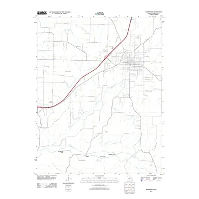
2011 Map of Marshfield
USGS Topo · Published 2011About this map
Marshfield serves as the central hub of this Webster County landscape, where the residential grid meets a network of rural roads and watercourses. The terrain is defined by the winding paths of the Pomme de Terre River and Turnbo Creek, which cut through the Missouri countryside southwest of the city. For those tracing local history, the map preserves the locations of numerous family-named landmarks and resting places, including Thomas Cemetery, Welch Cemetery, and Osborn Cemetery.
Find a feature on this map
89 named features on this map. Tap any name to fly to it.
Don’t see what you’re looking for? This feature index may not catch every label — zoom into the map to look around manually.
Map Details
Editions of this 2011 Marshfield Map
This is the sole edition of this map. No revisions or reprints were ever made.
Other maps of this area

1884 · Springfield
USGS Topo · 1:125,000

1886 · Springfield
USGS Topo · 1:125,000

1937 · Ozark
USGS Topo · 1:48,000

1939 · Fordland
USGS Topo · 1:62,500

1942 · Fordland
USGS Topo · 1:62,500

1943 · Ozark
USGS Topo · 1:62,500

1945 · Ozark
USGS Topo · 1:62,500

1946 · Niangua
USGS Topo · 1:62,500

1947 · Strafford
USGS Topo · 1:62,500

1948 · Niangua
USGS Topo · 1:62,500