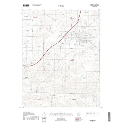
2017 Map of Marshfield
USGS Topo · Published 2017About this map
Marshfield serves as the central hub of this Missouri landscape, where the headwaters of the Pomme de Terre River and James River begin their respective journeys. The drainage patterns are a defining characteristic, with Turnbo Cr and Greer Cr carving paths through the terrain. Evidence of early river crossings is preserved through labels for Bumgarden Ford and Lindstrew Ford, indicating historical transportation routes that predated modern bridge infrastructure.
Find a feature on this map
152 named features on this map. Tap any name to fly to it.
Don’t see what you’re looking for? This feature index may not catch every label — zoom into the map to look around manually.
Map Details
Editions of this 2017 Marshfield Map
This is the sole edition of this map. No revisions or reprints were ever made.
Other maps of this area

1884 · Springfield
USGS Topo · 1:125,000

1886 · Springfield
USGS Topo · 1:125,000

1937 · Ozark
USGS Topo · 1:48,000

1939 · Fordland
USGS Topo · 1:62,500

1942 · Fordland
USGS Topo · 1:62,500

1943 · Ozark
USGS Topo · 1:62,500

1945 · Ozark
USGS Topo · 1:62,500

1946 · Niangua
USGS Topo · 1:62,500

1947 · Strafford
USGS Topo · 1:62,500

1948 · Niangua
USGS Topo · 1:62,500