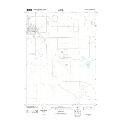
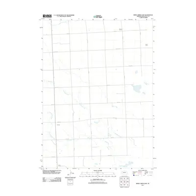
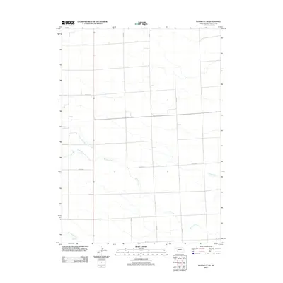
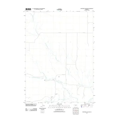
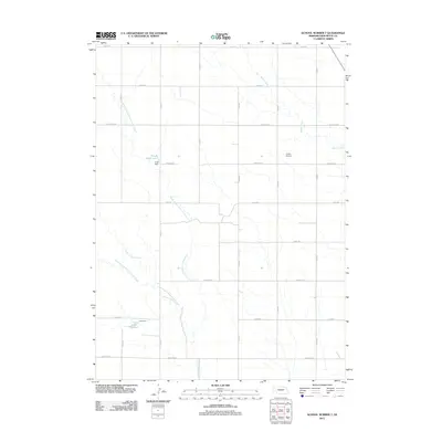
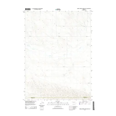
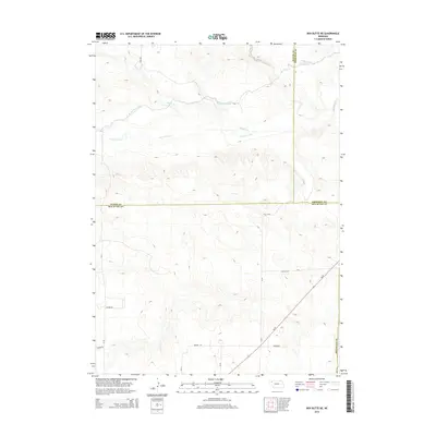
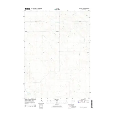
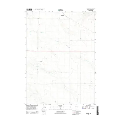
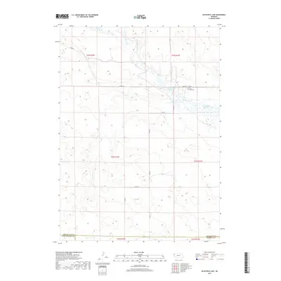
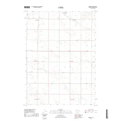
1951 Map of Marsland
USGS Topo · Published 1951About this map
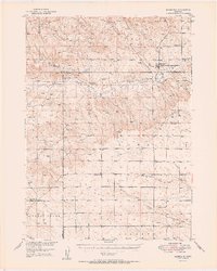
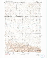
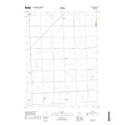
The Niobrara River carves through the High Plains of western Nebraska in this mid-century survey, anchoring the village of Marsland. The settlement serves as a focal point along the Chicago Burlington and Quincy railroad, which parallels the river valley. To the north, the elevation rises toward the Pine Ridge, while the surrounding plateau is defined by a dense network of early rural infrastructure. This landscape is notably punctuated by numerous one-room schoolhouses, including School No 103, School No 61, and the specifically noted School No 76 (Abandoned), illustrating the shifting population density of the era. Genealogists will find the Marsland Cem and St. Marys Ch as significant markers of the local community. The drainage patterns of Snake Creek and Point of Rocks Creek further define the terrain, showing the vital relationship between water sources and early homesteading patterns across the county lines of Dawes, Sioux, and Box Butte.
Find a feature on this map
22 named features on this map. Tap any name to fly to it.
Don’t see what you’re looking for? This feature index may not catch every label — zoom into the map to look around manually.
Map Details
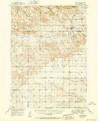
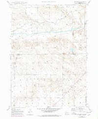
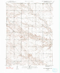
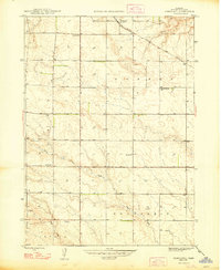
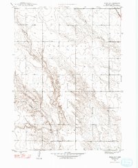
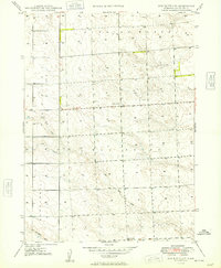
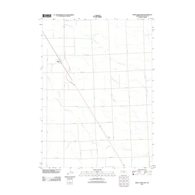
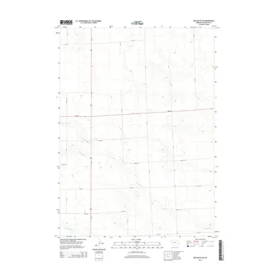
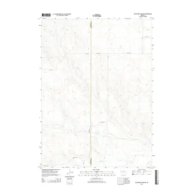
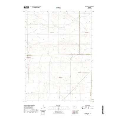
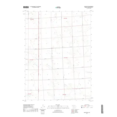
Editions of this 1951 Marsland Map
3 editions found
Historical Maps of Pine Ridge Through Time
92 maps found

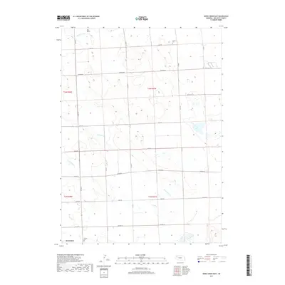
1946 Berea Creek East
Box Butte County, NE

1946 Nonpareil
Box Butte County, NE

1947 Alliance East
Box Butte County, NE

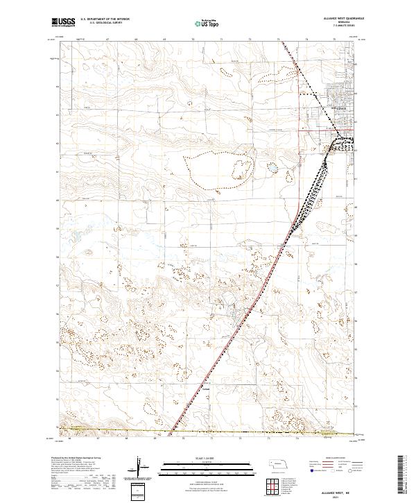
1947 Alliance West
Box Butte County, NE

1947 Box Butte
Box Butte County, NE
1947 Box Butte NE
Box Butte County, NE
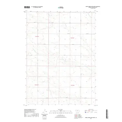
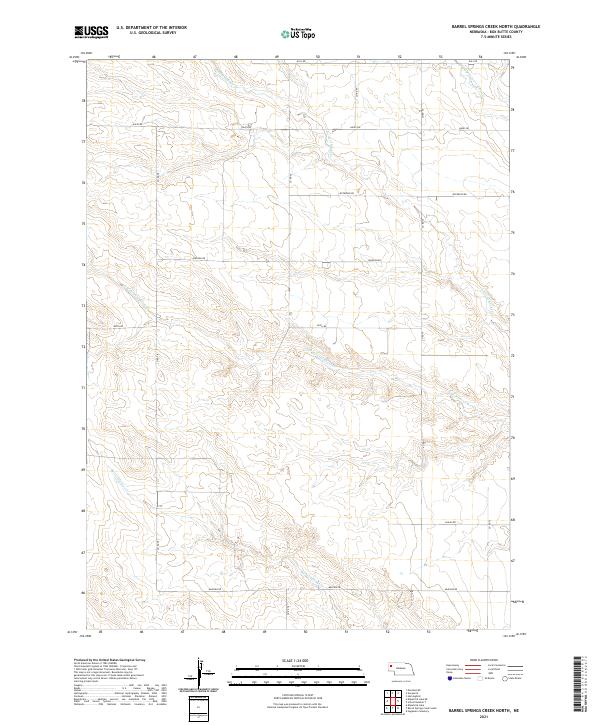
1948 Barrel Springs Creek North
Box Butte County, NE
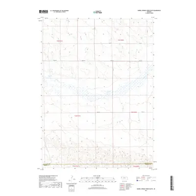
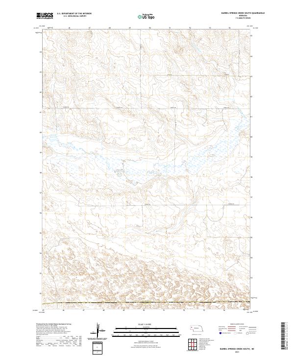
1948 Barrel Springs Creek South
Box Butte County, NE

1948 Berea Creek East
Box Butte County, NE

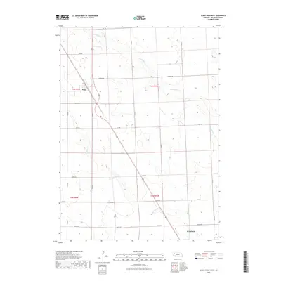
1948 Berea Creek West
Box Butte County, NE

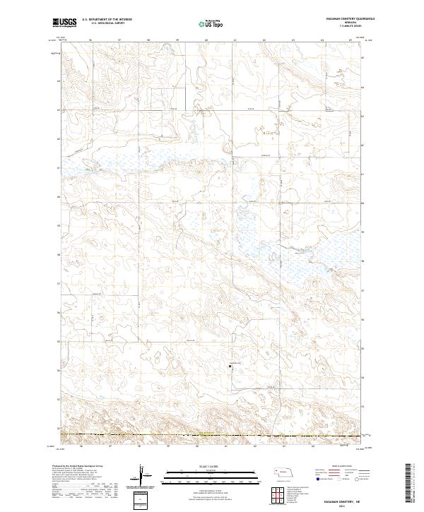
1948 Hagaman Cemetery
Box Butte County, NE
1948 Nonpareil
Box Butte County, NE
1948 School No. 7
Box Butte County, NE

1949 Box Butte
Box Butte County, NE

1949 Box Butte NE
Box Butte County, NE
1949 Box Butte SW
Box Butte County, NE

1949 Bronco Lake
Box Butte County, NE

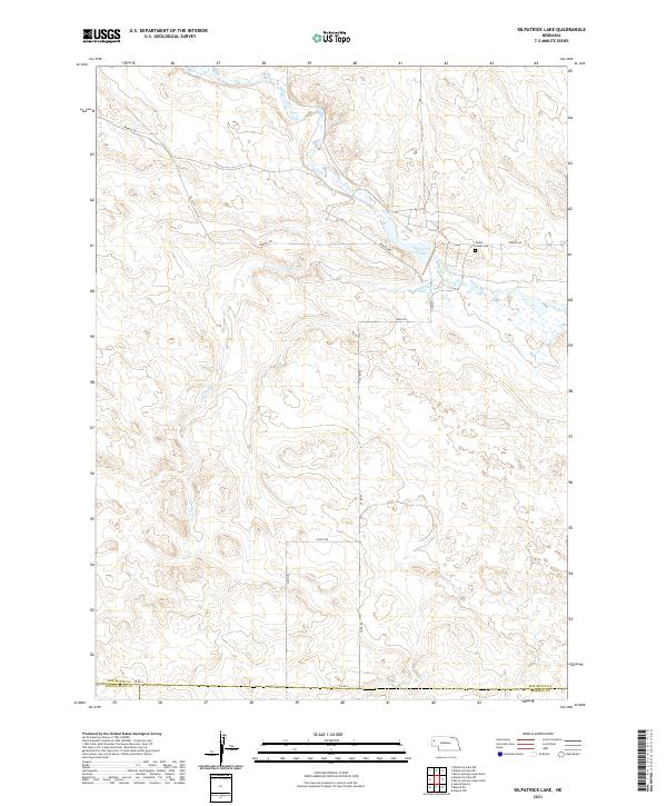
1951 Kilpatrick Lake
Box Butte County, NE

1951 Marsland
Box Butte County, NE

1983 Kilpatrick Lake
Box Butte County, NE

1983 Kilpatrick Lake NE
Box Butte County, NE

1983 Kilpatrick Lake NW
Box Butte County, NE

1983 Marsland SE
Box Butte County, NE

1983 Marsland SW
Box Butte County, NE
2011 Alliance East
Box Butte County, NE
2011 Alliance West
Box Butte County, NE
2011 Barrel Springs Creek North
Box Butte County, NE
2011 Barrel Springs Creek South
Box Butte County, NE
2011 Berea Creek East
Box Butte County, NE
2011 Berea Creek West
Box Butte County, NE
2011 Box Butte
Box Butte County, NE
2011 Box Butte NE
Box Butte County, NE
2011 Box Butte SW
Box Butte County, NE
2011 Hagaman Cemetery
Box Butte County, NE
2011 Kilpatrick Lake
Box Butte County, NE
2011 Kilpatrick Lake NE
Box Butte County, NE
2011 Kilpatrick Lake NW
Box Butte County, NE
2011 Marsland SE
Box Butte County, NE
2011 Marsland SW
Box Butte County, NE
2011 Nonpareil
Box Butte County, NE
2011 School Number 7
Box Butte County, NE
2014 Alliance East
Box Butte County, NE
2014 Alliance West
Box Butte County, NE
2014 Barrel Springs Creek North
Box Butte County, NE
2014 Barrel Springs Creek South
Box Butte County, NE
2014 Berea Creek East
Box Butte County, NE
2014 Berea Creek West
Box Butte County, NE
2014 Box Butte
Box Butte County, NE
2014 Box Butte NE
Box Butte County, NE
2014 Box Butte SW
Box Butte County, NE
2014 Hagaman Cemetery
Box Butte County, NE
2014 Kilpatrick Lake
Box Butte County, NE
2014 Kilpatrick Lake NE
Box Butte County, NE
2014 Kilpatrick Lake NW
Box Butte County, NE
2014 Marsland SE
Box Butte County, NE
2014 Marsland SW
Box Butte County, NE
2014 Nonpareil
Box Butte County, NE
2014 School Number 7
Box Butte County, NE
2017 Alliance East
Box Butte County, NE
2017 Alliance West
Box Butte County, NE
2017 Barrel Springs Creek North
Box Butte County, NE
2017 Barrel Springs Creek South
Box Butte County, NE
2017 Berea Creek East
Box Butte County, NE
2017 Berea Creek West
Box Butte County, NE
2017 Box Butte
Box Butte County, NE
2017 Box Butte NE
Box Butte County, NE
2017 Box Butte SW
Box Butte County, NE
2017 Hagaman Cemetery
Box Butte County, NE
2017 Kilpatrick Lake
Box Butte County, NE
2017 Kilpatrick Lake NE
Box Butte County, NE
2017 Kilpatrick Lake NW
Box Butte County, NE

2017 Marsland SE
Box Butte County, NE
2017 Marsland SW
Box Butte County, NE
2017 Nonpareil
Box Butte County, NE
2017 School Number 7
Box Butte County, NE

2021 Alliance East
Box Butte County, NE
2021 Alliance West
Box Butte County, NE
2021 Barrel Springs Creek North
Box Butte County, NE
2021 Barrel Springs Creek South
Box Butte County, NE

2021 Berea Creek East
Box Butte County, NE

2021 Berea Creek West
Box Butte County, NE
2021 Box Butte
Box Butte County, NE

2021 Box Butte NE
Box Butte County, NE
2021 Box Butte SW
Box Butte County, NE
2021 Hagaman Cemetery
Box Butte County, NE
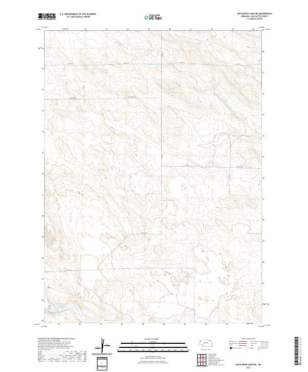
2021 Kilpatrick Lake
Box Butte County, NE
2021 Kilpatrick Lake NE
Box Butte County, NE

2021 Kilpatrick Lake NW
Box Butte County, NE
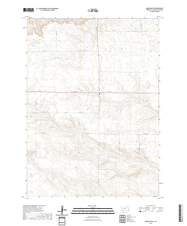
2021 Marsland SE
Box Butte County, NE

2021 Marsland SW
Box Butte County, NE
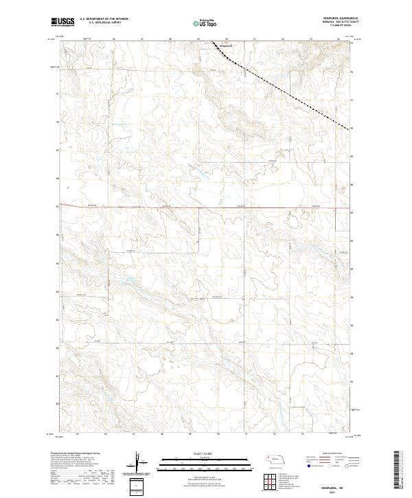
2021 Nonpareil
Box Butte County, NE
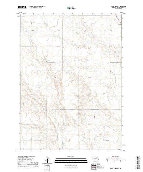
2021 School Number 7
Box Butte County, NE