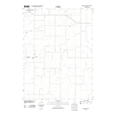
2010 Map of Martensdale
USGS Topo · Published 2010About this map
Martensdale and Saint Marys serve as the primary hubs for this section of Warren County, positioned near the confluence of several key regional watercourses. The landscape is defined by the winding paths of the Middle River and the South River, which are fed by smaller tributaries like Painter Creek and Turkey Creek. This agrarian corridor is anchored by small communities and their essential civic markers, including the Martensdale Post Office and Saint Marys Post Office.
Find a feature on this map
35 named features on this map. Tap any name to fly to it.
Don’t see what you’re looking for? This feature index may not catch every label — zoom into the map to look around manually.
Map Details
Editions of this 2010 Martensdale Map
This is the sole edition of this map. No revisions or reprints were ever made.
Other maps of this area

1931 · Indianola
USGS Topo · 1:62,500

1950 · New Virginia
USGS Topo · 1:62,500

1951 · Osceola
USGS Topo · 1:62,500

1951 · St. Charles
USGS Topo · 1:62,500

1952 · New Virginia
USGS Topo · 1:62,500

1954 · Des Moines
USGS Topo · 1:250,000

1956 · Des Moines
USGS Topo · 1:250,000

1957 · Des Moines
USGS Topo · 1:250,000

1969 · Des Moines
USGS Topo · 1:250,000
1972 · Scotch Ridge
USGS Topo · 1:24,000