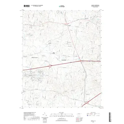
2019 Map of Martha
USGS Topo · Published 2019About this map
Cairo Bend and the winding course of the Spencer Cr define the northern landscape of this Wilson County region, where traditional rural settlements meet modern suburban growth. The area between Mount Juliet and Lebanon is marked by a network of established communities like Martha, Beckwith, and Leeville. Local history is anchored by several family-named burial sites, including Viverett Cem, Rutland Cem, and Gaines Cem, which speak to the area's ancestral roots. The terrain transitions from the heights of Posey Hill and Seay Hill down toward the waterways of Cedar Cr and Wilson Cr. Significant water features such as Benjamin Franklin Lake and Powell Lake provide localized points of interest amidst the corridor connecting these growing Tennessee hubs.
Find a feature on this map
158 named features on this map. Tap any name to fly to it.
Don’t see what you’re looking for? This feature index may not catch every label — zoom into the map to look around manually.
Map Details
Editions of this 2019 Martha Map
This is the sole edition of this map. No revisions or reprints were ever made.
Other maps of this area

1903 · Nashville
USGS Topo · 1:125,000

1932 · Hermitage
USGS Topo · 1:62,500

1942 · Gallatin
USGS Topo · 1:100,000

1942 · Lebanon
USGS Topo · 1:100,000

1951 · Lebanon
USGS Topo · 1:24,000

1951 · Martha
USGS Topo · 1:24,000

1952 · Hendersonville
USGS Topo · 1:24,000

1952 · Hermitage
USGS Topo · 1:24,000

1952 · La Vergne
USGS Topo · 1:24,000

1955 · Laguardo
USGS Topo · 1:24,000