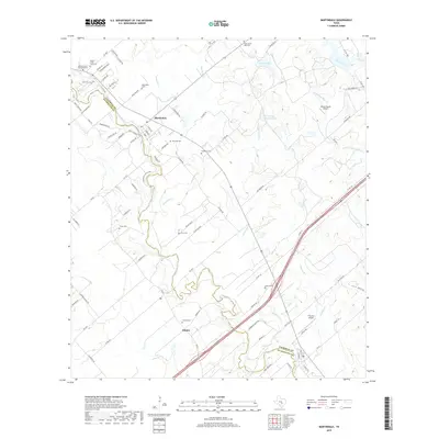
2019 Map of Martindale
USGS Topo · Published 2019About this map
The San Marcos River snakes through the heart of this landscape, forming the natural boundary between Caldwell Co and Guadalupe Co. The town of Martindale serves as a central hub, surrounded by a high density of family and community burial sites such as Kennedy Cem and Martindale Cem. Further south, the settlement of Staples is positioned near the riverbanks, illustrating the historic reliance on this waterway for regional growth and connectivity.
Find a feature on this map
91 named features on this map. Tap any name to fly to it.
Don’t see what you’re looking for? This feature index may not catch every label — zoom into the map to look around manually.
Map Details
Editions of this 2019 Martindale Map
This is the sole edition of this map. No revisions or reprints were ever made.
Other maps of this area

1911 · San Marcos
USGS Topo · 1:125,000

1919 · San Marcos
USGS Topo · 1:125,000

1929 · Luling
USGS Topo · 1:62,500

1930 · Lockhart
USGS Topo · 1:62,500

1930 · Seguin
USGS Topo · 1:62,500

1953 · Seguin
USGS Topo · 1:250,000

1958 · Seguin
USGS Topo · 1:250,000

1963 · Lockhart North
USGS Topo · 1:24,000
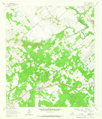
1964 · Kingsbury
USGS Topo · 1:24,000
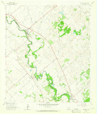
1964 · Martindale
USGS Topo · 1:24,000