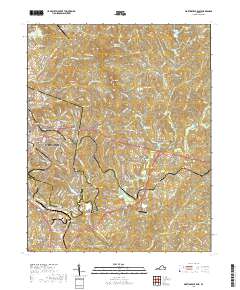
2019 Map of Martinsville East
USGS Topo · Published 2019About this map
The industrial and civic center of Martinsville anchors this survey of southern Virginia, where the city grid transitions into the complex drainage networks of the Piedmont. The Smith River and its tributaries, including Mulberry Cr and Leatherwood Creek, dictate the local topography and historical development patterns. Significant infrastructure for transportation and education is evident, from the Patrick Henry Community College campus to aviation hubs like Loury Lester Airpark and Gravely Airport. The map documents the eastern expansion of the city into suburbs and named communities such as Chatmoss, Fontaine, and Old Liberty. Genealogists will find value in the placement of several local burial sites, including the large Roselawn Burial Park near the city center and the more outlying Barrow Cem and Wilson Cem, reflecting family settlement patterns across the Henry County line.
Find a feature on this map
203 named features on this map. Tap any name to fly to it.
Don’t see what you’re looking for? This feature index may not catch every label — zoom into the map to look around manually.
Map Details
Editions of this 2019 Martinsville East Map
This is the sole edition of this map. No revisions or reprints were ever made.
Other maps of this area

1922 · Callands
USGS Topo · 1:48,000

1924 · Martinsville
USGS Topo · 1:48,000

1924 · Draper
USGS Topo · 1:48,000

1924 · Callands
USGS Topo · 1:62,500

1925 · Rocky Mount
USGS Topo · 1:48,000

1926 · Martinsville
USGS Topo · 1:62,500

1926 · Draper
USGS Topo · 1:62,500

1927 · Rocky Mount
USGS Topo · 1:62,500

1927 · Martinsville
USGS Topo · 1:62,500

1944 · Martinsville
USGS Topo · 1:62,500