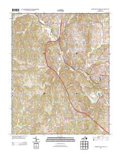
2013 Map of Martinsville West
USGS Topo · Published 2013About this map
The Smith River winds through the heart of Henry County, anchoring a landscape of industrial hamlets and growing residential communities like Collinsville and Fieldale. This corridor, long shaped by manufacturing and textile production, is marked by the presence of a large Dye Plant and a Gravel Pit near the riverbanks. The mapping of Stanleytown and Bassett Forks to the north reflects the region's historical industrial clusters, where worker housing and local commerce developed around major mill sites. To the south, Dug Mountain rises above the valley, providing a natural backdrop to the rural settlement at Horse Pasture. Researchers will find significant local landmarks such as the Rosenwald Sch, a site of vital importance in the history of African American education in the South, and the Friendly Church, which serves the community of Grassy Creek. The transportation network is dominated by the primary highway corridors and the Norfolk Southern rail line, which together facilitated the flow of goods and workers throughout the twentieth century.
Find a feature on this map
311 named features on this map. Tap any name to fly to it.
Don’t see what you’re looking for? This feature index may not catch every label — zoom into the map to look around manually.
Map Details
Editions of this 2013 Martinsville West Map
This is the sole edition of this map. No revisions or reprints were ever made.
Other maps of this area

1924 · Martinsville
USGS Topo · 1:48,000

1925 · Rocky Mount
USGS Topo · 1:48,000

1926 · Martinsville
USGS Topo · 1:62,500

1926 · Critz
USGS Topo · 1:48,000

1927 · Rocky Mount
USGS Topo · 1:62,500

1927 · Martinsville
USGS Topo · 1:62,500

1928 · Critz
USGS Topo · 1:62,500

1944 · Martinsville
USGS Topo · 1:62,500

1944 · Rocky Mount
USGS Topo · 1:62,500

1953 · Winston-Salem
USGS Topo · 1:250,000