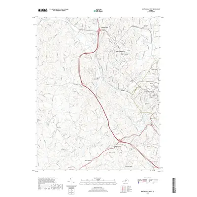
2019 Map of Martinsville West
USGS Topo · Published 2019About this map
The Smith River winds through the heart of Henry County, anchoring a landscape where industrial centers and residential communities like Fieldale and Koehler developed along its banks. This 2019 survey captures the modern geography of Martinsville, showing the city's western expansion and the institutional importance of the New College Institute and the Henry County Courthouse. The map reveals a high density of named settlements along the river corridor, including Villa Heights, Collinsville, and Bassett Forks, each connected by a complex web of roads such as Virginia Ave and Kings Mountain Rd.
Find a feature on this map
223 named features on this map. Tap any name to fly to it.
Don’t see what you’re looking for? This feature index may not catch every label — zoom into the map to look around manually.
Map Details
Editions of this 2019 Martinsville West Map
This is the sole edition of this map. No revisions or reprints were ever made.
Other maps of this area

1924 · Martinsville
USGS Topo · 1:48,000

1925 · Rocky Mount
USGS Topo · 1:48,000

1926 · Martinsville
USGS Topo · 1:62,500

1926 · Critz
USGS Topo · 1:48,000

1927 · Rocky Mount
USGS Topo · 1:62,500

1927 · Martinsville
USGS Topo · 1:62,500

1928 · Critz
USGS Topo · 1:62,500

1944 · Martinsville
USGS Topo · 1:62,500

1944 · Rocky Mount
USGS Topo · 1:62,500

1953 · Winston-Salem
USGS Topo · 1:250,000