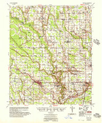
1956 Map of Marvell
USGS Topo · Published 1957About this map
Marvell serves as the primary hub of this eastern Arkansas landscape, where the Missouri Pacific railroad cuts a straight path toward the Mississippi Delta. The 1950s terrain is characterized by a dense network of rural religious and educational centers, such as Pilgrim Ch Sch & Cem and Mt Mariah Ch, which anchored these farming communities before mid-century consolidation. Drainage projects are evident in the engineered paths of Main Ditch No 1 and its various laterals, reflecting the region's agricultural transformation. Small rail-side features like the Neuka Spur and settlements including Poplar Grove and Aubrey highlight a period when local transport still relied heavily on the rail corridor. The map preserves the names of numerous family-linked landmarks, from the Schaffhauser Cem to the Hicks Sch, offering a detailed view of the rural social geography of Phillips County at mid-century.
Find a feature on this map
93 named features on this map. Tap any name to fly to it.
Don’t see what you’re looking for? This feature index may not catch every label — zoom into the map to look around manually.
Map Details
Editions of this 1956 Marvell Map
This is the sole edition of this map. No revisions or reprints were ever made.
Other maps of this area
1939 · Farrell
USGS Topo · 1:62,500
1939 · Modoc
USGS Topo · 1:62,500
1939 · Indian Bay
USGS Topo · 1:62,500
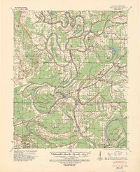
1939 · Park Place
USGS Topo · 1:62,500
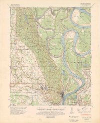
1939 · Latour
USGS Topo · 1:62,500
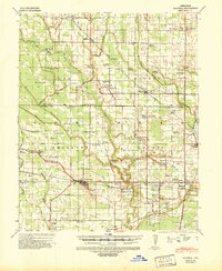
1940 · Marvell
USGS Topo · 1:62,500
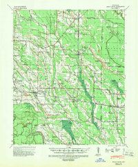
1940 · Holly Grove
USGS Topo · 1:62,500
1940 · Brinkley
USGS Topo · 1:62,500
1940 · Marianna
USGS Topo · 1:62,500

1948 · Helena
USGS Topo · 1:250,000