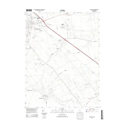
2013 Map of Marysville
USGS Topo · Published 2013About this map
The city of Marysville serves as the central hub of this 2013 survey, where a complex network of city streets meets the sprawling Union County Fairgrounds and the Union County Airport. The landscape outside the city center transitions into a patchwork of productive agricultural land and small rural clusters. Transportation routes like Us-36 and the Industrial Pkwy facilitate modern commerce, yet the map preserves numerous historical markers of the area's development.
Find a feature on this map
78 named features on this map. Tap any name to fly to it.
Don’t see what you’re looking for? This feature index may not catch every label — zoom into the map to look around manually.
Map Details
Editions of this 2013 Marysville Map
This is the sole edition of this map. No revisions or reprints were ever made.
Other maps of this area

1901 · Dublin
USGS Topo · 1:62,500

1903 · Dublin
USGS Topo · 1:62,500

1913 · Richwood
USGS Topo · 1:62,500

1915 · Richwood
USGS Topo · 1:62,500

1916 · Milford Center
USGS Topo · 1:62,500

1924 · Delaware
USGS Topo · 1:62,500

1925 · Delaware
USGS Topo · 1:62,500

1944 · Richwood
USGS Topo · 1:62,500

1944 · Milford Center
USGS Topo · 1:62,500

1944 · Delaware
USGS Topo · 1:62,500