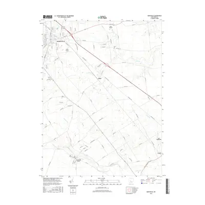
2016 Map of Marysville
USGS Topo · Published 2016About this map
Marysville serves as the focal point of this 2016 survey, showcasing the urban expansion and infrastructure of the Union County seat. The landscape is defined by the convergence of several significant waterways, including Mill Creek, Sugar Run, and the winding path of Big Darby Creek in the south. Aviation history and modern transport are represented by the Union County Airport and the smaller FL-Airfield, positioned amid a network of industrial parkways and rural routes.
Find a feature on this map
106 named features on this map. Tap any name to fly to it.
Don’t see what you’re looking for? This feature index may not catch every label — zoom into the map to look around manually.
Map Details
Editions of this 2016 Marysville Map
This is the sole edition of this map. No revisions or reprints were ever made.
Other maps of this area

1901 · Dublin
USGS Topo · 1:62,500

1903 · Dublin
USGS Topo · 1:62,500

1913 · Richwood
USGS Topo · 1:62,500

1915 · Richwood
USGS Topo · 1:62,500

1916 · Milford Center
USGS Topo · 1:62,500

1924 · Delaware
USGS Topo · 1:62,500

1925 · Delaware
USGS Topo · 1:62,500

1944 · Richwood
USGS Topo · 1:62,500

1944 · Milford Center
USGS Topo · 1:62,500

1944 · Delaware
USGS Topo · 1:62,500