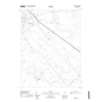
2019 Map of Marysville
USGS Topo · Published 2019About this map
Marysville serves as the focal point of this Union County landscape, where the Union County Courthouse stands at the center of a developing street grid. The transition from town to countryside is marked by the Union County Airport and the expansion of the industrial parkway southeast toward Dipple. This survey captures the rural character of the Big Darby and Mill Creek watersheds, where agricultural lands are dotted with several early burial sites, including Saint Johns Cem and Trinity Cem. The settlement at Unionville Center sits near the banks of Big Darby Creek, while smaller hamlets like Arnold and New Dover anchor the outlying farm districts. Water features such as Fairbanks Spring and Robinson Run emphasize the area's natural drainage patterns that have historically shaped the placement of farms and cemeteries across these plains.
Find a feature on this map
100 named features on this map. Tap any name to fly to it.
Don’t see what you’re looking for? This feature index may not catch every label — zoom into the map to look around manually.
Map Details
Editions of this 2019 Marysville Map
This is the sole edition of this map. No revisions or reprints were ever made.
Other maps of this area

1901 · Dublin
USGS Topo · 1:62,500

1903 · Dublin
USGS Topo · 1:62,500

1913 · Richwood
USGS Topo · 1:62,500

1915 · Richwood
USGS Topo · 1:62,500

1916 · Milford Center
USGS Topo · 1:62,500

1924 · Delaware
USGS Topo · 1:62,500

1925 · Delaware
USGS Topo · 1:62,500

1944 · Richwood
USGS Topo · 1:62,500

1944 · Milford Center
USGS Topo · 1:62,500

1944 · Delaware
USGS Topo · 1:62,500