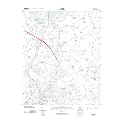
2010 Map of Maryville
USGS Topo · Published 2010About this map
Alcoa and Maryville anchor this detailed landscape in East Tennessee, showing the urban development and industrial infrastructure surrounding the McGhee Tyson Airport. The geography is defined by the winding course of the Little River, which creates distinctive landforms like Singleton Bend, Lower McCammon Island, and Upper McCammon Island. A significant concentration of burial grounds, including the Slave Cemetery, East Maryville Cemetery, and Sherwood Memorial Gardens, provides a rich resource for genealogists and local historians.
Find a feature on this map
121 named features on this map. Tap any name to fly to it.
Don’t see what you’re looking for? This feature index may not catch every label — zoom into the map to look around manually.
Map Details
Editions of this 2010 Maryville Map
This is the sole edition of this map. No revisions or reprints were ever made.
Other maps of this area

1886 · Knoxville
USGS Topo · 1:125,000

1892 · Knoxville
USGS Topo · 1:125,000

1894 · Knoxville
USGS Topo · 1:125,000

1895 · Loudon
USGS Topo · 1:125,000

1895 · Knoxville
USGS Topo · 1:125,000

1901 · Knoxville
USGS Topo · 1:125,000

1935 · Binfield
USGS Topo · 1:24,000

1935 · Knoxville
USGS Topo · 1:48,000

1935 · Maryville
USGS Topo · 1:24,000

1935 · Wildwood
USGS Topo · 1:24,000