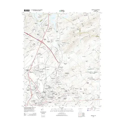
2014 Map of Maryville
USGS Topo · Published 2014About this map
The Little River carves a winding path through this Blount County landscape, marking the transition from the Knoxville suburbs to the rolling hills of the southern Appalachian foothills. The central portion of the sheet is dominated by the sprawling infrastructure of Mc Ghee Tyson Airport, surrounded by residential developments like Mimosa Heights and Eagleton Village. Further south, the city of Maryville is anchored by the campus of Maryville Coll, serving as a cultural and educational focal point for the region.
Find a feature on this map
147 named features on this map. Tap any name to fly to it.
Don’t see what you’re looking for? This feature index may not catch every label — zoom into the map to look around manually.
Map Details
Editions of this 2014 Maryville Map
This is the sole edition of this map. No revisions or reprints were ever made.
Other maps of this area

1886 · Knoxville
USGS Topo · 1:125,000

1892 · Knoxville
USGS Topo · 1:125,000

1894 · Knoxville
USGS Topo · 1:125,000

1895 · Loudon
USGS Topo · 1:125,000

1895 · Knoxville
USGS Topo · 1:125,000

1901 · Knoxville
USGS Topo · 1:125,000

1935 · Binfield
USGS Topo · 1:24,000

1935 · Knoxville
USGS Topo · 1:48,000

1935 · Maryville
USGS Topo · 1:24,000

1935 · Wildwood
USGS Topo · 1:24,000