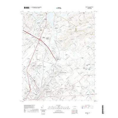
2019 Map of Maryville
USGS Topo · Published 2019About this map
The city of Maryville and the industrial hub of Alcoa anchor this 2019 survey, showing the complex suburban and industrial development south of Knoxville. The landscape is defined by the winding course of the Little River and Pistol Cr, which weave through established neighborhoods like Eagleton Village, Meadowbrook, and West Springbrook. The map captures the significant footprint of the Mc Ghee Tyson Airport and the intricate road network including the E Lamar Alexander Pkwy.
Find a feature on this map
95 named features on this map. Tap any name to fly to it.
Don’t see what you’re looking for? This feature index may not catch every label — zoom into the map to look around manually.
Map Details
Editions of this 2019 Maryville Map
This is the sole edition of this map. No revisions or reprints were ever made.
Other maps of this area

1886 · Knoxville
USGS Topo · 1:125,000

1892 · Knoxville
USGS Topo · 1:125,000

1894 · Knoxville
USGS Topo · 1:125,000

1895 · Loudon
USGS Topo · 1:125,000

1895 · Knoxville
USGS Topo · 1:125,000

1901 · Knoxville
USGS Topo · 1:125,000

1935 · Binfield
USGS Topo · 1:24,000

1935 · Knoxville
USGS Topo · 1:48,000

1935 · Maryville
USGS Topo · 1:24,000

1935 · Wildwood
USGS Topo · 1:24,000