2022 Map of Maryville
USGS Topo · Published 2022About this map
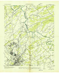
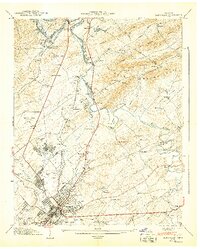
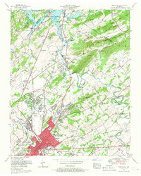
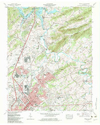
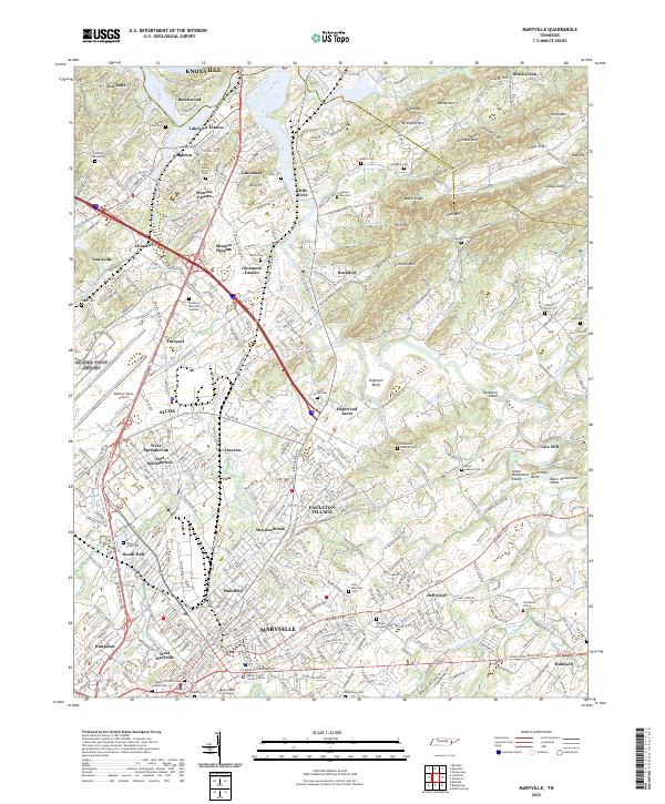
The sprawling campus of Maryville College and the industrial corridors of Alcoa define the landscape of this East Tennessee hub. Situated along the winding course of the Little River, the region shows a dense network of suburban expansion and historical roots, from the residential clusters of Eagleton Village and Meadowbrook to the essential transportation hub at McGhee Tyson Airport. The terrain to the east transitions into the ridges of Rambo Mtn and Goddard Mtn, where gaps like Rule Gap have long dictated local movement.
Find a feature on this map
104 named features on this map. Tap any name to fly to it.
Don’t see what you’re looking for? This feature index may not catch every label — zoom into the map to look around manually.
Map Details
Editions of this 2022 Maryville Map
This is the sole edition of this map. No revisions or reprints were ever made.
Historical Maps of Iris Acres Through Time
6 maps found