
1954 Map of Masaryktown
USGS Topo · Published 1955About this map
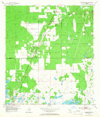
The settlement of Masaryktown serves as a central hub in this mid-century portrait of the Florida Gulf coast interior. Established as a Czech and Slovak farming colony, the town is shown during its peak poultry-farming era, situated directly on the Seaboard Air Line railroad. To the north, the Brooksville Airport and the Florida State Prison Camp occupy significant acreage, illustrating the governmental and logistical footprints of the early 1950s. The landscape transitions from these developed areas into a complex system of karst depressions and seasonal water bodies typical of the region, including Cypress Pond and Squirrel Prairie Lake. Smaller locales like Garden Grove, Ayers, and Loyce appear alongside localized industry, such as a Gravel Pit near the rail line, while the McGeachy Cem and Masaryktown Cem provide essential anchor points for family historians.
Find a feature on this map
17 named features on this map. Tap any name to fly to it.
Don’t see what you’re looking for? This feature index may not catch every label — zoom into the map to look around manually.
Map Details
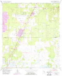
Editions of this 1954 Masaryktown Map
3 editions found
Other maps of this area

1954 · Spring Lake
USGS Topo · 1:24,000

1954 · Ehren
USGS Topo · 1:24,000

1954 · San Antonio
USGS Topo · 1:24,000

1954 · Fivay
USGS Topo · 1:24,000

1954 · Brooksville
USGS Topo · 1:24,000

1954 · Brooksville SE
USGS Topo · 1:24,000

1954 · Weekiwachee Springs
USGS Topo · 1:24,000

1954 · Port Richey NE
USGS Topo · 1:24,000

1955 · Plant City
USGS Topo · 1:250,000

1958 · Plant City
USGS Topo · 1:250,000