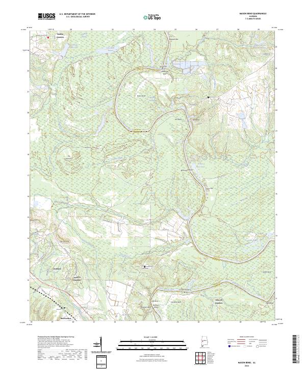
2024 Map of Mason Bend
USGS Topo · Published 2024About this map
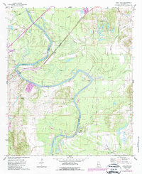
Forkland and the winding course of the Black Warrior River define this West Alabama landscape where the Greene and Hale county lines converge. The river's serpentine path creates distinctive features like Mason Bend, Erie Bend, and Clements Bend, interspersed with landmarks such as McAlpines Ferry and Lassiters Shoals. These geographical markers reflect a long history of river navigation and seasonal water management in the Black Warrior basin.
Find a feature on this map
82 named features on this map. Tap any name to fly to it.
Don’t see what you’re looking for? This feature index may not catch every label — zoom into the map to look around manually.
Map Details
Editions of this 2024 Mason Bend Map
This is the sole edition of this map. No revisions or reprints were ever made.
Historical Maps of Millwood Through Time
13 maps found
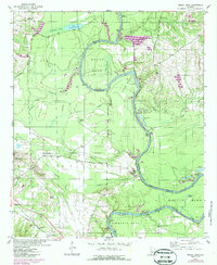
1947 Mason Bend
Greene County, AL
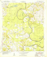
1948 Mason Bend
Greene County, AL
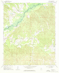
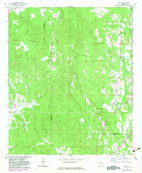
1970 Mantua
Greene County, AL
1970 Ralph
Greene County, AL
1970 West Greene
Greene County, AL
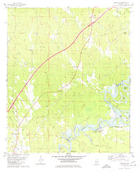
1974 Epes East
Greene County, AL
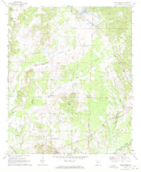
1980 Knoxville
Greene County, AL
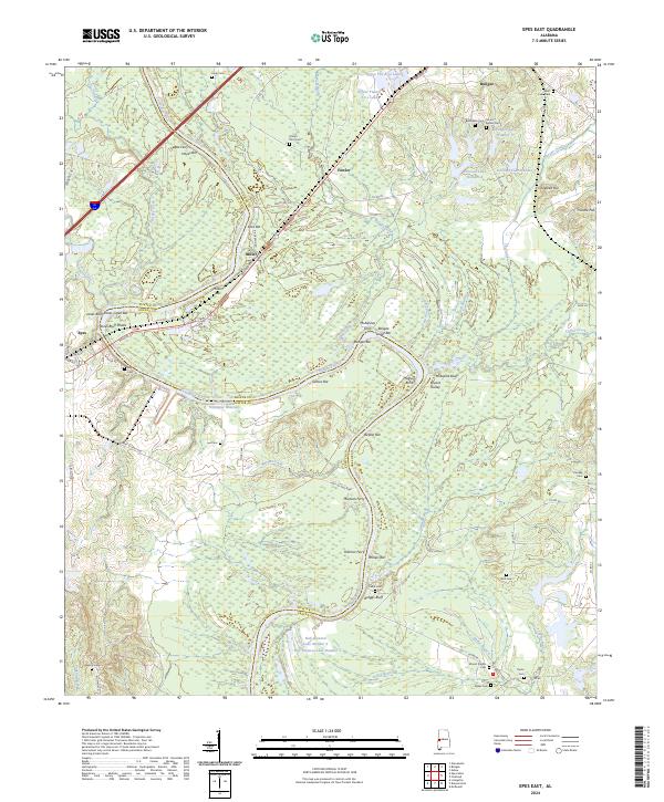
2024 Epes East
Greene County, AL
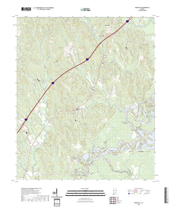
2024 Knoxville
Greene County, AL
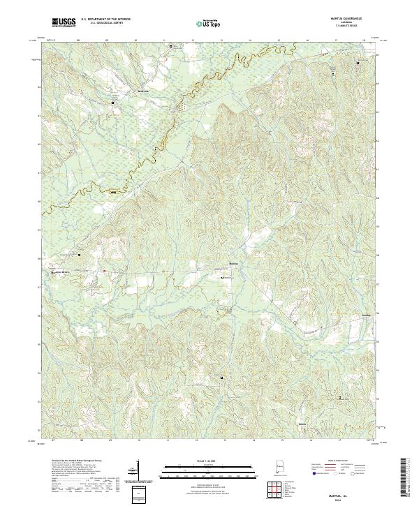
2024 Mantua
Greene County, AL
2024 Mason Bend
Greene County, AL
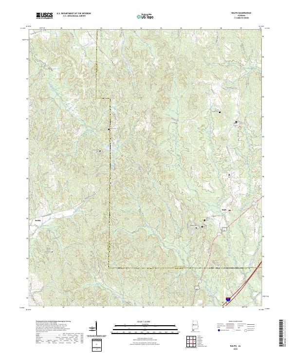
2024 Ralph
Greene County, AL
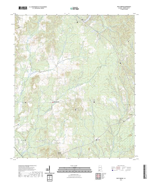
2024 West Greene
Greene County, AL