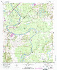
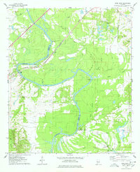
1974 Map of Epes East
USGS Topo · Published 1987About this map
Tombigbee River and Lake Demopolis define this riverine landscape at the boundary of Sumter and Greene counties. The river’s winding course is marked by landmarks such as McAlpin Bend, Hillman Ferry, and Lukes Landing, illustrating the historical importance of the waterway for transport and local access. Near the settlement of Epes, the Gorgas Bridge and the Alabama Great Southern railroad line cross the water at Jones Bluff, highlighting the infrastructure required to traverse this low-lying, creek-veined terrain. Smaller settlements like Boligee and Fowler sit further inland, surrounded by numerous country churches and family burial grounds including St Luke Ch Cem, Mt Bethel Cem, and Mt Zion Ch. The mapping of several spoil areas along the river banks suggests the ongoing maintenance of the Tennessee-Tombigbee Waterway during this era.
Find a feature on this map
49 named features on this map. Tap any name to fly to it.
Don’t see what you’re looking for? This feature index may not catch every label — zoom into the map to look around manually.
Map Details
Editions of this 1974 Epes East Map
2 editions found
Other maps of this area

1927 · Eutaw
USGS Topo · 1:48,000

1929 · Epes
USGS Topo · 1:48,000

1931 · Eutaw
USGS Topo · 1:62,500

1932 · Epes
USGS Topo · 1:62,500

1947 · Forkland
USGS Topo · 1:24,000

1948 · Mc Dowell
USGS Topo · 1:24,000

1949 · Mc Dowell
USGS Topo · 1:24,000

1949 · Forkland
USGS Topo · 1:24,000

1953 · Montgomery
USGS Topo · 1:250,000

1953 · Meridian
USGS Topo · 1:250,000