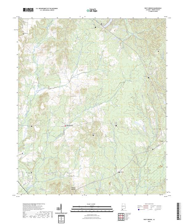
2024 Map of West Greene
USGS Topo · Published 2024About this map
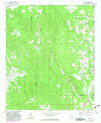
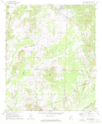
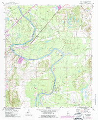
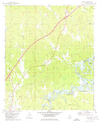
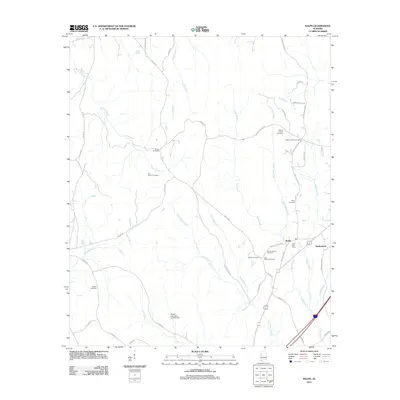
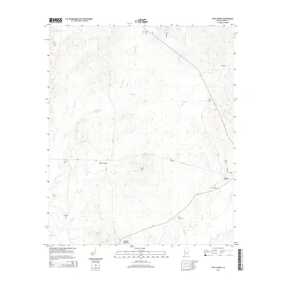
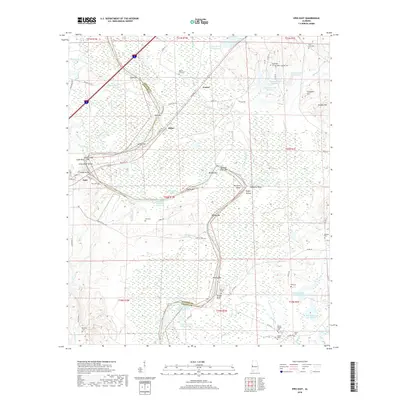
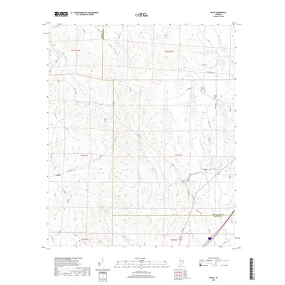
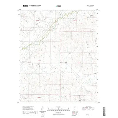
West Greene and Clinton anchor this section of Greene County, where the landscape is defined by the winding paths of Wilkes Creek and Bangdoodle Branch. The area maintains a rural character dominated by agricultural land and woodlots, with small community clusters such as Mount Hebron situated along AL Highway 39. This modern survey reveals a dense distribution of family and community burial grounds, including the Brickyard Cem and Eatman Cem, which offer significant value for genealogists tracing local family lines.
Find a feature on this map
55 named features on this map. Tap any name to fly to it.
Don’t see what you’re looking for? This feature index may not catch every label — zoom into the map to look around manually.
Map Details
Editions of this 2024 West Greene Map
This is the sole edition of this map. No revisions or reprints were ever made.
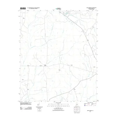
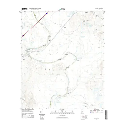
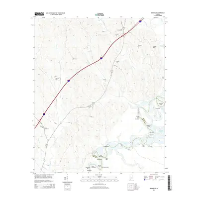
Historical Maps of West Greene Through Time
37 maps found
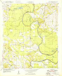
1947 Mason Bend
Greene County, AL
1948 Mason Bend
Greene County, AL
1970 Mantua
Greene County, AL
1970 Ralph
Greene County, AL
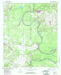
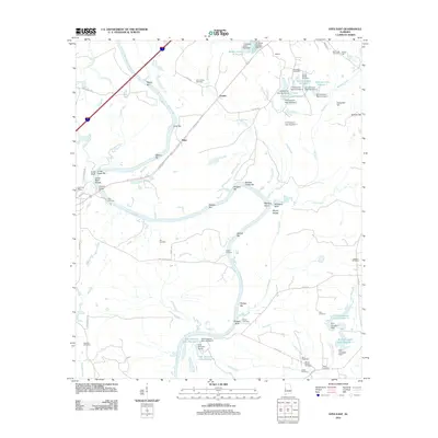
1970 West Greene
Greene County, AL
1974 Epes East
Greene County, AL
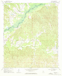
1980 Knoxville
Greene County, AL
2011 Epes East
Greene County, AL
2011 Knoxville
Greene County, AL
2011 Mantua
Greene County, AL
2011 Mason Bend
Greene County, AL
2011 Ralph
Greene County, AL
2011 West Greene
Greene County, AL
2014 Epes East
Greene County, AL
2014 Knoxville
Greene County, AL
2014 Mantua
Greene County, AL
2014 Mason Bend
Greene County, AL
2014 Ralph
Greene County, AL
2014 West Greene
Greene County, AL
2018 Epes East
Greene County, AL
2018 Knoxville
Greene County, AL
2018 Mantua
Greene County, AL
2018 Mason Bend
Greene County, AL
2018 Ralph
Greene County, AL
2018 West Greene
Greene County, AL
2020 Epes East
Greene County, AL
2020 Knoxville
Greene County, AL
2020 Mantua
Greene County, AL
2020 Mason Bend
Greene County, AL
2020 Ralph
Greene County, AL
2020 West Greene
Greene County, AL
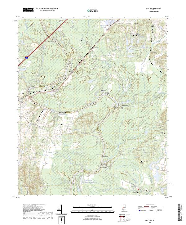
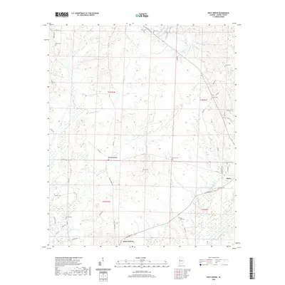
2024 Epes East
Greene County, AL
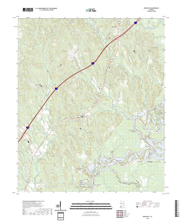
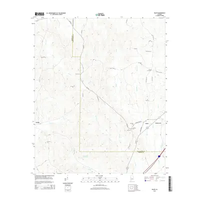
2024 Knoxville
Greene County, AL
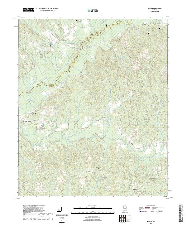
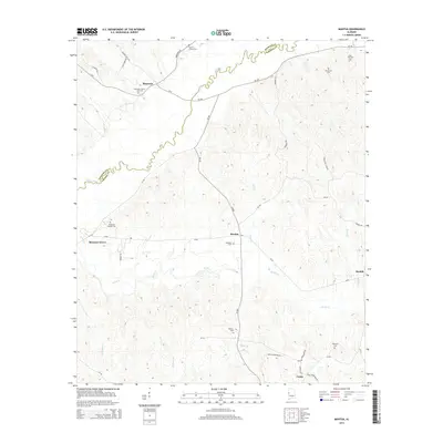
2024 Mantua
Greene County, AL
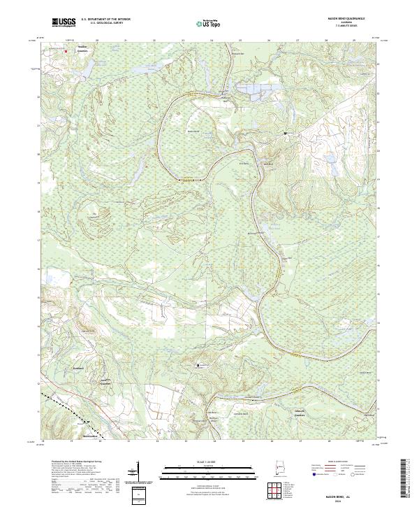
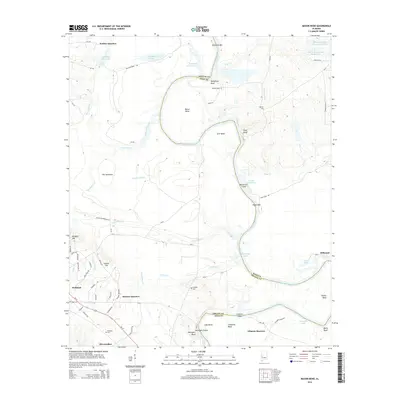
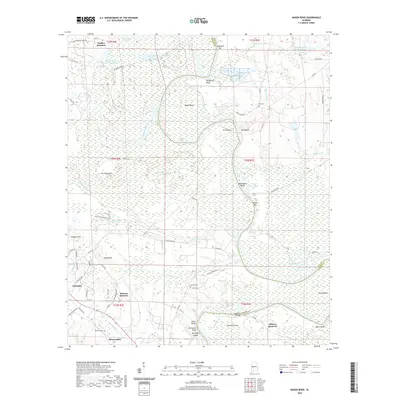
2024 Mason Bend
Greene County, AL
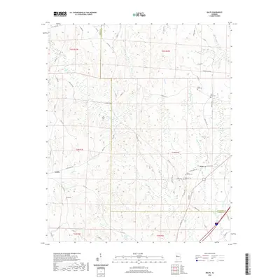
2024 Ralph
Greene County, AL
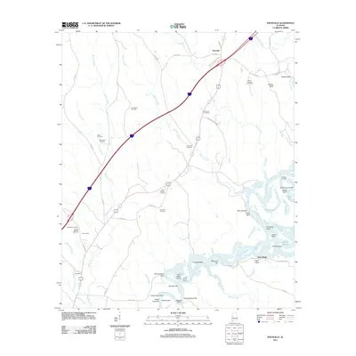
2024 West Greene
Greene County, AL